Kantō Plain, Plains in Kantō region, Japan.
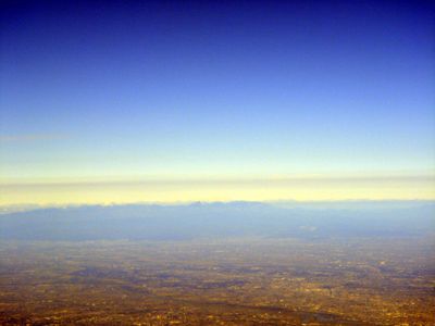
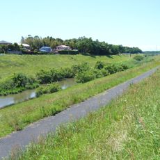
The Kantō Plain stretches across seven prefectures in central Honshū and forms the largest lowland region in Japan with flat terrain and numerous watercourses. The landscape features wide valleys and low ridges that gradually rise toward the surrounding mountain ranges.
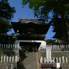
The plain became the political center of Japan from the 12th century when Minamoto no Yoritomo established the Kamakura shogunate here. This shift of power from Kyōto eastward shaped the later development of the region through the Edo period.
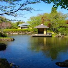
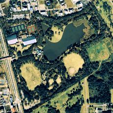
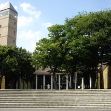
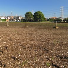
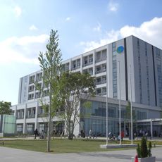
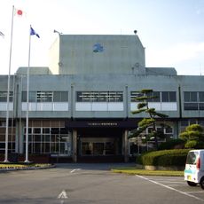
The name refers to the eight historical provinces east of the Hakone mountains, now considered the core of the modern metropolitan region. Travelers notice the continuous urban development interrupted only by scattered rice fields and smaller forested areas.
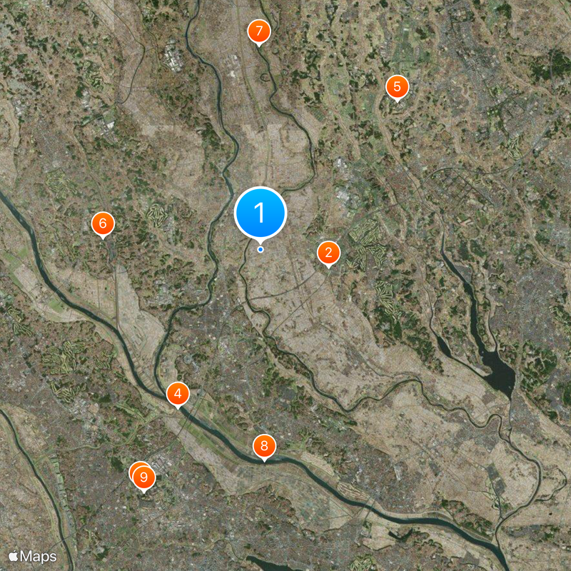
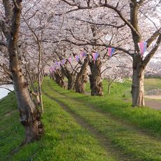
The region is best explored by train, as most locations are connected through regular rail services. Visitors looking for rural areas will find them mainly in the northern and western edges of the plain.
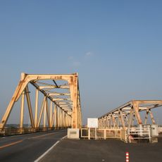
The Tone river system was redirected during the Edo period to prevent flooding in what is now the metropolitan region. This engineering achievement permanently altered the water flow and created new agricultural land in former wetlands.
The community of curious travelers
AroundUs brings together thousands of curated places, local tips, and hidden gems, enriched daily by 60,000 contributors worldwide.