Enable Location

We need your location to show you interesting places around you

Discover nearby places

Find interesting locations and hidden gems around you

Precise directions

Get accurate directions and distances to places

Your location is never shared with other users. It's only used when you tap the location button.

Chihayaakasaka

Log in to your account

Start exploring — it's free

Trusted by 62,864 travelers worldwide

Continue with Google
Continue with Apple
or

We will send you a code to connect

By continuing, you accept our Terms and Conditions and our Privacy Policy

Check your inbox

We've sent a pincode in your inbox. Please enter the code below.

Chihayaakasaka, Rural village in Minamikawachi district, Japan

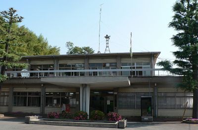
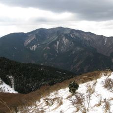
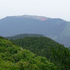
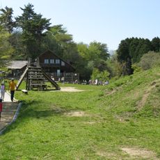
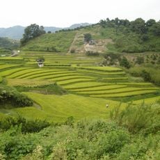
Chihayaakasaka is a village in Minamikawachi district, Japan, spread across forested mountains in the southeastern part of Osaka Prefecture. The terrain lies almost entirely within a quasi-national park and consists mainly of steep slopes and valleys covered by dense forest.

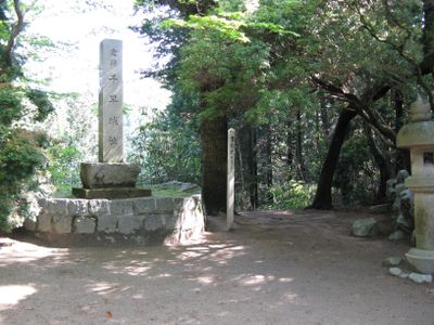
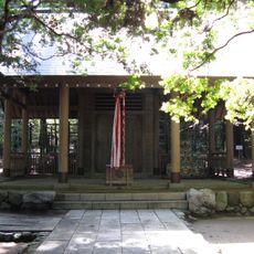
The two original settlements merged into a single administrative unit in 1956 after remaining separate communities for centuries. During the Kamakura period in the 14th century, the area played an important role in military conflicts that shaped Japan's destiny.

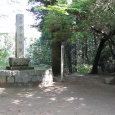
The old castle sites now serve as popular hiking destinations where visitors can trace the remains of former defense lines among forests and slopes. Many people follow paths once used by warriors moving between the fortifications.

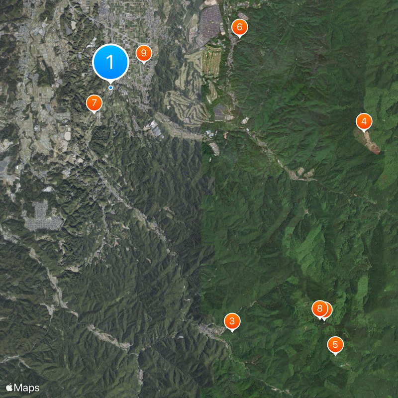
The area is best reached from Kawachinagano or Tondabayashi stations, from where buses run into the mountainous terrain. National Route 309 winds through steep curves and serves as the main road link for drivers.

Forestry and shiitake cultivation still shape life in the mountain hamlets and supply products sold at regional markets. The mushrooms grow on oak logs prepared and maintained using traditional methods.

The community of curious travelers

AroundUs brings together thousands of curated places, local tips, and hidden gems, enriched daily by 60,000 contributors worldwide.

Start exploring
Inception
September 30, 1956
Reference
273830
Shares border with
Tondabayashi, Kawachinagano, Kanan, Gojō, Gose, Katsuragi
GPS coordinates
34.46456,135.62250
Latest update
December 13, 2025 18:01
« Chihayaakasaka - Rural village in Minamikawachi district, Japan » is provided by Around Us (aroundus.com). Images and texts are derived from Wikimedia project under a Creative Commons license. You are allowed to copy, distribute, and modify copies of this page, under the conditions set by the license, as long as this note is clearly visible.

Discover hidden gems everywhere you go!

From secret cafés to breathtaking viewpoints, skip the crowded tourist spots and find places that match your style. Our app makes it easy with voice search, smart filtering, route optimization, and insider tips from travelers worldwide. Download now for the complete mobile experience.

Around Us App Screenshot

A unique approach to discovering new places

Le Figaro

All the places worth exploring

France Info

A tailor-made excursion in just a few clicks

20 Minutes

Around Us
Travel Guide & Maps
Download

Send to your phone

QR Code
1

Open the camera app on your mobile.

2

Point at the QR code with your camera. A notification will appear.

3

Tap the notification to open the link.