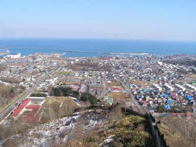
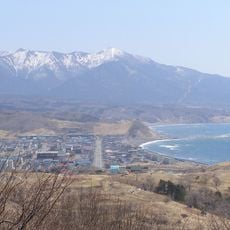
Hiroo, town in Hiroo district, Hokkaidō, Japan
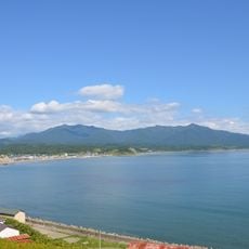
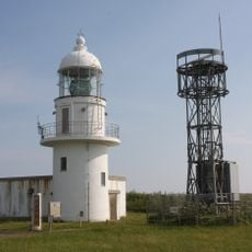
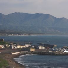
Hiroo is a small town in Tokachi Subprefecture on Hokkaido shaped by fishing, dairy farming, and flower cultivation. Located on the eastern coast with cool weather that stays mild even in summer, it is home to significant industries including hairy crab fishing and kelp-drying operations.
Hiroo developed from a rural community into a center for specialized fishing and agriculture. Its connection to Christmas culture began in 1980 when the town became a sister city with Bergen, Norway, leading to the establishment of Santa Land in 1984.
Hiroo is shaped by its connection to Christmas culture, particularly through Santa Land, the only one outside Norway that has operated since 1984 and draws visitors year-round. The community uses this connection for social purposes too, allowing visitors to send gifts to orphanages and keeping alive the tradition of Saint Nicholas, who was known for his generosity.
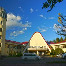
The town is about an hour and a half by car from Obihiro and roughly an hour from Cape Erimo, best explored with your own vehicle. Seaside House provides central accommodation with a kitchen, laundry, and bath for visitors staying longer and wanting to participate in farm or fishing experiences.
Hiroo runs the Furusato Working Holiday program, allowing visitors to work directly on farms or with fishermen and experience daily life and food production firsthand. This hands-on participation in activities like animal feeding, cheese making, or kelp-drying processes sets the town apart from typical tourist experiences.
The community of curious travelers
AroundUs brings together thousands of curated places, local tips, and hidden gems, enriched daily by 60,000 contributors worldwide.