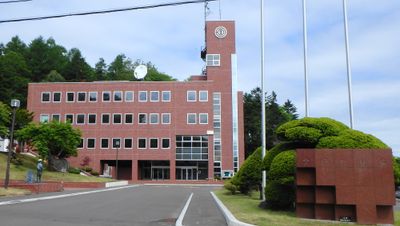
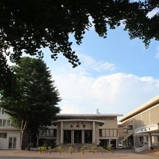
Toyokoro, town in Nakagawa district, Hokkaido, Japan
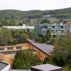
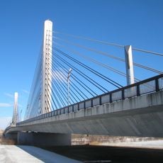
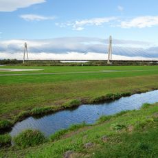
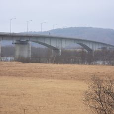
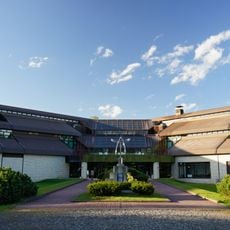
Toyokoro is a small town in Tokachi Subprefecture located on the Pacific coast, consisting of open farmland, rice fields, and flat coastal areas. The Tokachi River runs through the town and divides it into two sections connected by bridges, while Otsu Port serves as a key workplace for local fishers.
The settlement began in the late 1700s as a trading post with the Ainu people, where guardhouses and trading stations were established for safe commerce. Over time, this small starting point grew into an independent town with its own local government.
The name Toyokoro comes from the Ainu language and means "great river". The small fishing community maintains its traditions through daily routines connected to the ocean and seasons, while locals and visitors gather to celebrate harvest festivals and other seasonal events that bring the community together.
The best time to visit is from January to February when Jewelry Ice glimmers on the beaches, but be aware that temperatures can drop below minus 4 degrees Fahrenheit (minus 20 Celsius). Warm clothing is essential, and Tokachi Airport is about a one-hour drive away.
The most striking phenomenon is Jewelry Ice, which forms from January to February when ice from the Tokachi River drifts into the ocean and is shaped by powerful waves into gleaming, transparent pieces before washing ashore. These frozen chunks sparkle in different colors, resembling real gemstones.
The community of curious travelers
AroundUs brings together thousands of curated places, local tips, and hidden gems, enriched daily by 60,000 contributors worldwide.