Annamite Range, Mountain range in eastern Indochina, Laos and Vietnam
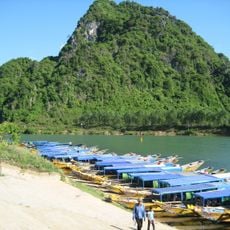
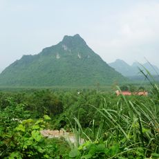
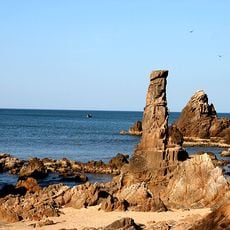
The Annamite Range is a mountain range in eastern Indochina that runs 1100 kilometers through Laos and Vietnam. The eastern slopes drop sharply and meet a narrow coastal plain, while the western sides descend more gently toward the Mekong basin.
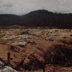
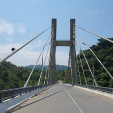
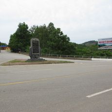
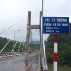
The mountain range formed a strategic barrier during French colonialism and the Vietnam War, with the Ho Chi Minh trail running through its valleys and forests. After 1976, resettlement programs changed the population makeup in many areas along the Vietnamese side considerably.
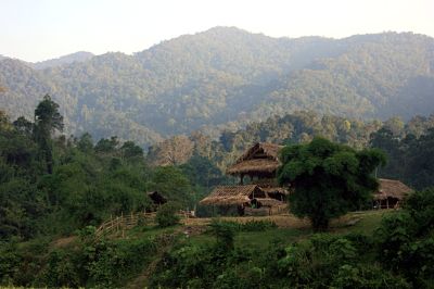
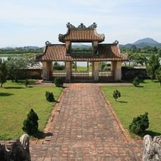
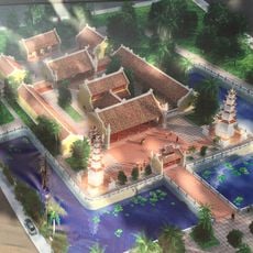
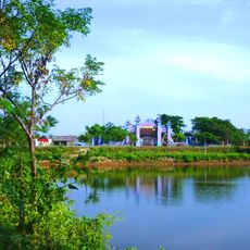
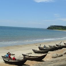
The name comes from European cartography referring to the historical kingdom of Annam in the central portion of the region. Today you see villages along the mountain slopes where families still maintain terraced fields and practice traditional crafts, with ways of life differing noticeably between the Laotian and Vietnamese sides.
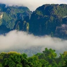
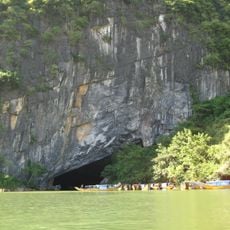
The three major plateaus of Phouane, Nakai, and Bolaven offer different climate zones and elevations suitable for different types of hiking and exploration. When visiting the region, keep in mind that the eastern slopes often experience cloud cover and mist while the western sides tend to stay clearer.
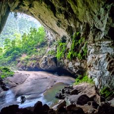
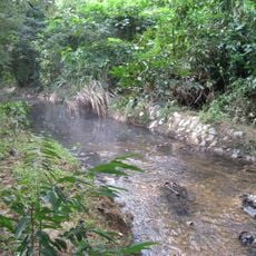
The mountains shelter rare animal species such as the Annamite striped rabbit and the Large-antlered Muntjac, found nowhere else on Earth. Scientists discovered these species only in recent decades, showing the remoteness and protection the dense forests provided over a long period.
The community of curious travelers
AroundUs brings together thousands of curated places, local tips, and hidden gems, enriched daily by 60,000 contributors worldwide.