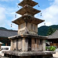
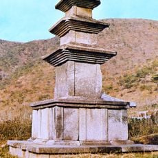
Chilgok County, Administrative district in North Gyeongsang, South Korea
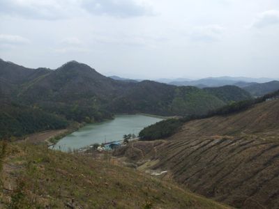
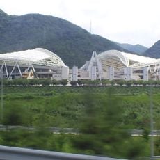
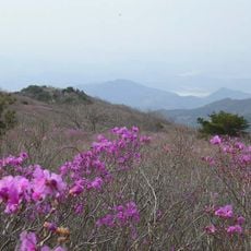
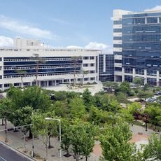
Chilgok County is a rural county in North Gyeongsang, South Korea, crossed by the Nakdong River. It covers flat river plains and low hills, with farmland, small towns, and a few industrial areas spread across its territory.
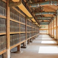
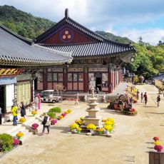
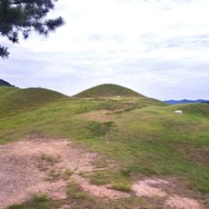
The area was known as Palgeorihyeon during the Silla period and took the name Chilgok in 1640 when Gasansanseong Fortress was built nearby. That name change reflected the growing role of the region as a point of control along the Nakdong River.
The Nakdong valley has shaped life here for generations, with rice fields and fruit orchards defining the daily rhythms of local communities. Small-town markets sell produce grown nearby, and farming remains a visible part of everyday life throughout the county.
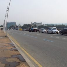
The county is reachable by bus and train from nearby cities like Daegu and Gumi. Having a car makes it much easier to move between villages and rural sites, as public transport between smaller spots can be limited.
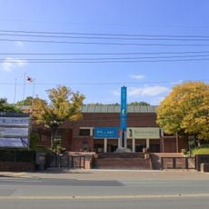
During the Korean War, this area was the site of a 55-day defense line along the Nakdong River, one of the most critical stands of the conflict. A local museum dedicated to this battle keeps the story alive through collections open to visitors.
The community of curious travelers
AroundUs brings together thousands of curated places, local tips, and hidden gems, enriched daily by 60,000 contributors worldwide.