
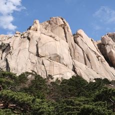
Gachilbong, mountain in South Korea
Location: Gangwon State
Elevation above the sea: 1,164 m
GPS coordinates: 38.00790,128.42840
Latest update: May 15, 2025 01:29
Seoraksan
12.8 km
Seoraksan National Park
13.1 km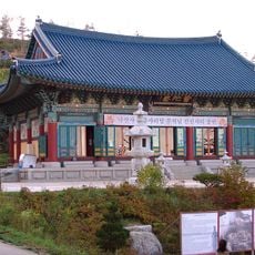
Naksansa
21.9 km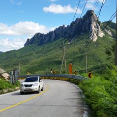
Ulsanbawi
21.2 km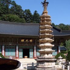
Woljeongsa
34 km
Sinheungsa
19.6 km
Inje Speedium
12 km
Gongnyong Ridge in Seoraksan Mountain
15.4 km
Gyeongpodae
47.3 km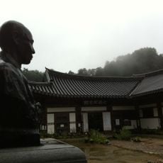
Baekdamsa
18.1 km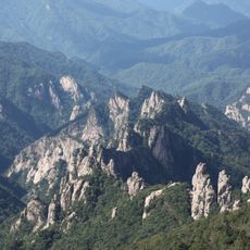
Seoraksan Yonga Jangseong Fortress
16.3 km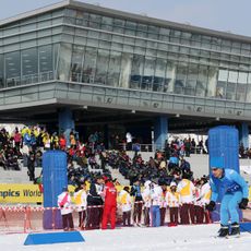
Alpensia Biathlon Centre
44.6 km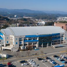
Gangneung Indoor Ice Rink
48.4 km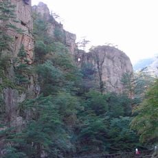
Odaesan National Park
25.7 km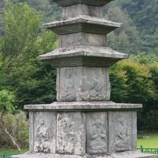
Three-story Stone Pagoda at Jinjeonsa Temple site in Yangyang
16.5 km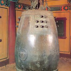
Bell of Sangwonsa
27.4 km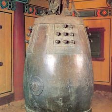
Sangwonsa
27.4 km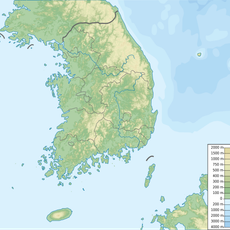
Daeamsan
34.3 km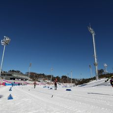
Alpensia Cross-Country Centre
44.4 km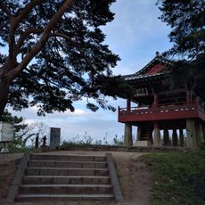
Cheongganjeong
30.7 km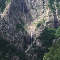
Towangseong Falls
17.3 km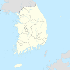
Gyebangsan
31.3 km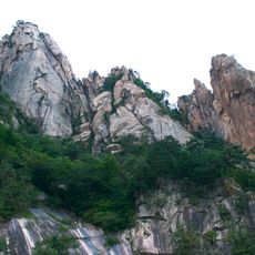
설악산 비선대와 천불동계곡 일원
17.6 km
Biryong Falls
18.3 km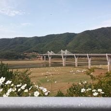
38 brodge
26.6 km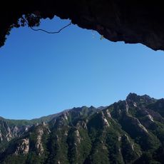
Geumganggul cave
17.8 km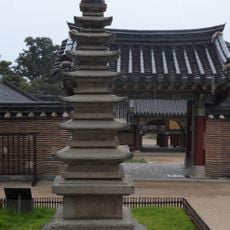
Seven-story Stone Pagoda of Naksansa Temple
21.8 km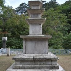
Osekri Samcheungseoktap
7.7 kmReviews
Visited this place? Tap the stars to rate it and share your experience / photos with the community! Try now! You can cancel it anytime.
Discover hidden gems everywhere you go!
From secret cafés to breathtaking viewpoints, skip the crowded tourist spots and find places that match your style. Our app makes it easy with voice search, smart filtering, route optimization, and insider tips from travelers worldwide. Download now for the complete mobile experience.

A unique approach to discovering new places❞
— Le Figaro
All the places worth exploring❞
— France Info
A tailor-made excursion in just a few clicks❞
— 20 Minutes