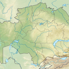
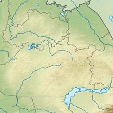
Kazakh Uplands, Peneplain formation in central Kazakhstan.
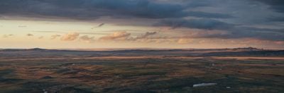
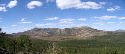
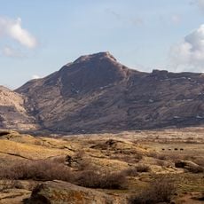
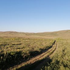
The Kazakh Uplands is a peneplain formation in central Kazakhstan that stretches over 1,200 kilometers and includes many mountain ranges separated by elevated flat basins and low hills. This terrain shifts between gently rolling plains and individual mountain chains that rise from the ground and connect through wide valleys.
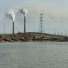
The geological foundation of this upland formed around 250 million years ago during the Paleozoic era through tectonic processes that shaped ancient mountains. Over time, these mountains were worn down by erosion and weathering into the present rolling terrain with flat basins.
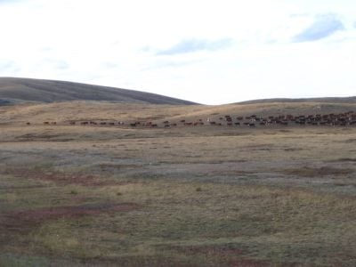
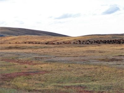
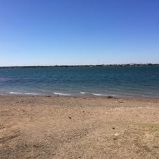
The name Saryarqa means Yellow Range and refers to the golden color of the wide grasslands and steppes that define this area. This label reflects how the dry grasses and open terrain appear in daylight and shape the view across the land.
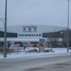
The area is wide and remote, so it helps to check weather conditions and terrain types in advance, especially when traveling during the warmer months. Visitors planning to explore the northern or southern sections should note that distances between locations can be considerable and preparation is important.
The upland hosts different ecological zones where pine forests grow on mountain slopes while fescue and feather grass dominate the steppe landscape in the north. This combination of habitats supports a variety of plants and animals adapted to dry conditions and shifting elevations.
The community of curious travelers
AroundUs brings together thousands of curated places, local tips, and hidden gems, enriched daily by 60,000 contributors worldwide.