Katonkaragay District, Administrative district in East Kazakhstan Region, Kazakhstan
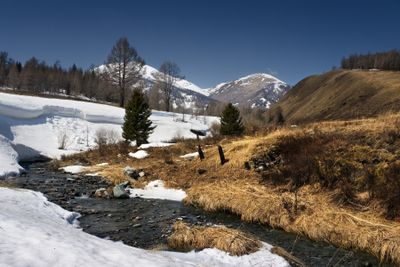
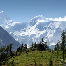
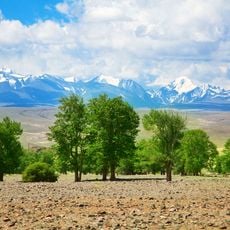
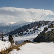
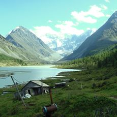
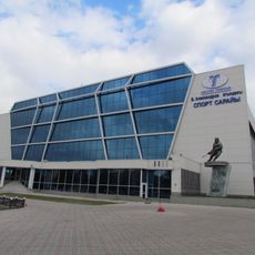
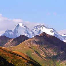
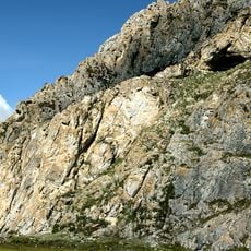
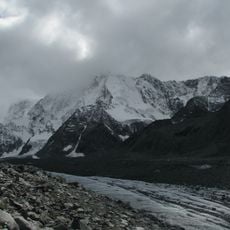
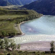
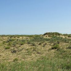
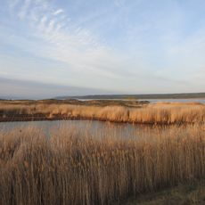
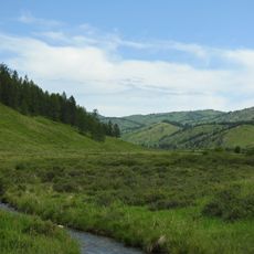
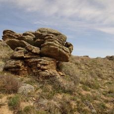
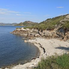
Katonkaragay District covers terrain marked by mountains, forests, and farmland spread across its eastern location. The administrative center Ulken Narin serves as the main hub connecting rural settlements to schools, offices, and services.
Created in 1928, this district emerged from a wider administrative reshaping of eastern regions. That reorganization set the current framework for local governance and settlement patterns.
Daily life here centers on livestock herding and farming, activities that shape both the landscape and people's routines. You can see traditional crafts practiced in village communities, where work and family are closely connected.
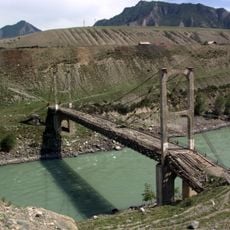
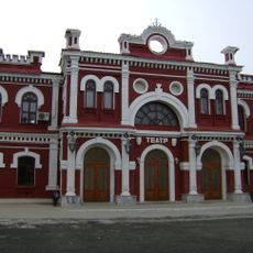
The area revolves around village centers, with Ulken Narin as the main hub for government offices and local services. Travel is easiest during warmer months when roads are more reliably passable.
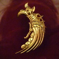
Near Berel, archaeologists uncovered burial sites of nomadic peoples with objects from the 3rd century BC. These findings reveal how traveling societies buried their dead here and what crafting skills they mastered.
The community of curious travelers
AroundUs brings together thousands of curated places, local tips, and hidden gems, enriched daily by 60,000 contributors worldwide.