Geography of Laos, Geography of landlocked nation in Southeast Asia, Laos.
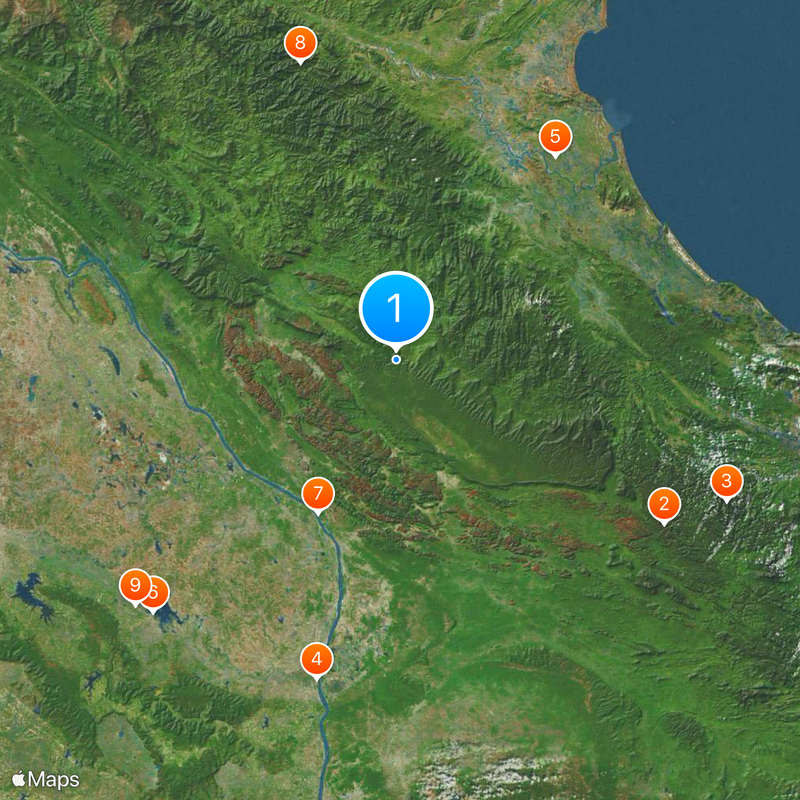
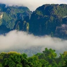
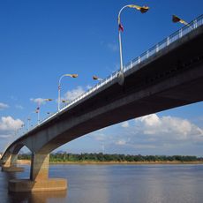
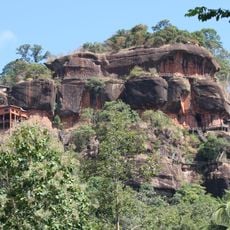
The geography of this landlocked nation features mountains and forested hills covering most of the land, interrupted by several large plateaus in between. The Mekong River cuts through the country from north to south, serving as a major waterway connecting different regions.
The colonial period under French control from the late 1800s to mid-1900s established the current territorial boundaries, with the Mekong set as the western frontier. This colonial past shaped the political and land divisions that remain today.
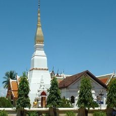
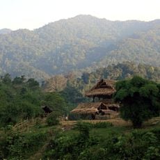
Different ethnic groups live scattered across the mountain valleys and plateaus, each maintaining their own customs and ways of living. This diversity shapes the local communities and daily traditions throughout the country.
Exploring the river valleys and mountain terrain takes time since roads are often winding and hilly throughout the country. The dry season offers the best travel conditions when roads are most accessible and weather is more predictable.
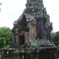
The Xiangkhiang Plateau holds the Plain of Jars, where massive prehistoric stone containers lie scattered across the elevated terrain. These mysterious vessels date back to ancient times and still puzzle researchers about their original purpose.
The community of curious travelers
AroundUs brings together thousands of curated places, local tips, and hidden gems, enriched daily by 60,000 contributors worldwide.