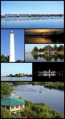
Batticaloa, Coastal city in Batticaloa District, Sri Lanka
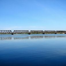
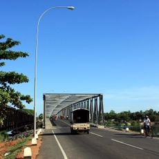
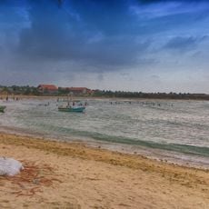
Batticaloa is a coastal city spread across a flat plain shaped by three major lagoons, with the Batticaloa Lagoon at roughly 56 kilometers being the most significant. The lagoon connects to different areas through numerous bridges and water channels that cross the landscape.
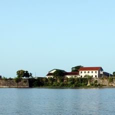
The city developed as a European trading post when Portuguese forces built fortifications in the 1620s and the Dutch took control in 1638. These early colonial periods made Batticaloa a key location for the spice trade in the region.
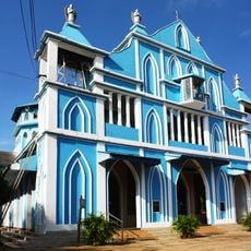
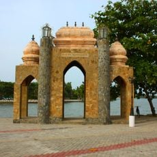
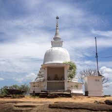
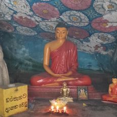
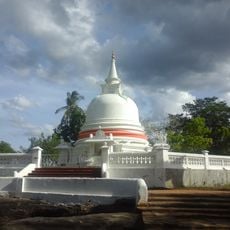
The city brings together Tamil, Moor, Sinhalese, and Burgher communities, each maintaining temples, mosques, and churches that shape the local landscape. Religious and social sites reflect how different groups have made this place their home over generations.
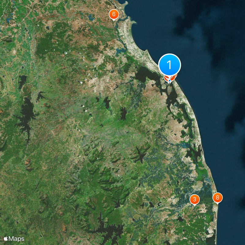
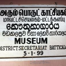
The city is organized into various administrative areas, each with its own local council managing services and development. Understanding these divisions helps visitors navigate different neighborhoods and find local services more easily.
Near the Kallady Bridge, underwater creatures in the lagoon produce unusual sounds that visitors can hear at certain times. These distinctive noises have earned the area its nickname of the Land of Singing Fish, making it a curiosity for those interested in natural phenomena.
The community of curious travelers
AroundUs brings together thousands of curated places, local tips, and hidden gems, enriched daily by 60,000 contributors worldwide.