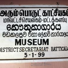
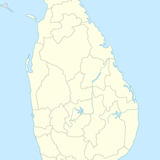
Batticaloa District, Administrative district in Eastern Province, Sri Lanka
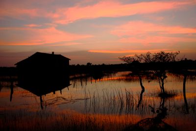
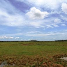
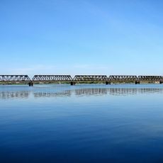
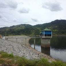
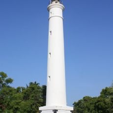
Batticaloa District is an administrative region along Sri Lanka's eastern coast, covering about 2,850 square kilometers. It features numerous lagoons, sandy beaches, and flat terrain dotted with palm groves and wetlands that stretch inland from the shore.
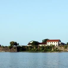
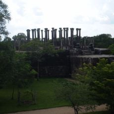
The region began as an ancient Tamil settlement before Portuguese forces took control in the 1600s. Control changed hands several times afterward, each period leaving marks on the local architecture and way of life.
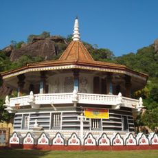
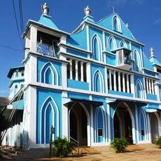
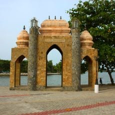
Tamil, Moor, and Sinhalese communities live side by side, each following Hinduism, Islam, or Christianity. You can see this diversity reflected in the temples, mosques, churches, and the way people gather in town squares and markets.
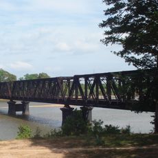
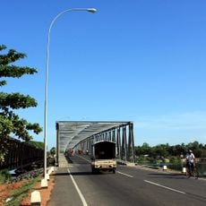
The main highway links this region to other parts of the country, making it accessible by road. Come prepared for hot, humid weather and plan your visit during the drier months for better conditions.
The lagoon here produces strange sounds at night that locals call singing fish, a phenomenon that has intrigued people for generations. This mysterious natural occurrence remains one of the region's most talked-about features among visitors and residents alike.
Location: Eastern Province
Capital city: Batticaloa
Website: http://ds.gov.lk/dist_batticaloa/english/
GPS coordinates: 7.83333,81.33333
Latest update: December 7, 2025 10:06
Polonnaruwa
38.4 km
Gal Vihara
39.1 km
Minneriya National Park
55.8 km
Somawathiya Chaitya
36.8 km
Wasgamuwa National Park
46 km
Rankoth Vehera
38.9 km
Maduru Oya National Park
35.5 km
Somawathiya National Park
36.8 km
Dimbulagala Raja Maha Vihara
24.2 km
Kallady Bridge
43.2 km
Batticaloa Fort
42.9 km
Rambakan Oya Dam
43.3 km
Medirigiriya Vatadage
51.7 km
Manampitiya Bridge
28.3 km
Church of Our Lady of Presentation, Batticaloa
41.9 km
Batticaloa Lighthouse
39.8 km
Oddamavadi Bridge
22.3 km
Piyangala Forest Hermitage
49.9 km
Batticaloa Gate
42.6 km
Batticaloa Museum
42.9 km
Samangala Forest Hermitage
54.4 km
Mawaragala Forest Hermitage
55 km
Unagalawehera Rajamaha Viharaya, Hingurakgoda
42.9 km
Minneriya Garrison
52.4 km
Sri Dharmendrarama Raja Maha Vihara
56.1 km
Padiyadora Raja Maha Vihara
49.3 km
Kaudulla Wewa
57.9 km
Wasgomuwa Strict Natural Reserve
46.8 kmVisited this place? Tap the stars to rate it and share your experience / photos with the community! Try now! You can cancel it anytime.
Discover hidden gems everywhere you go!
From secret cafés to breathtaking viewpoints, skip the crowded tourist spots and find places that match your style. Our app makes it easy with voice search, smart filtering, route optimization, and insider tips from travelers worldwide. Download now for the complete mobile experience.
A unique approach to discovering new places❞
— Le Figaro
All the places worth exploring❞
— France Info
A tailor-made excursion in just a few clicks❞
— 20 Minutes