Foum Jamaa, rural commune of Morocco
Location: Azilal Province
Elevation above the sea: 901 m
GPS coordinates: 31.96000,-6.98000
Latest update: April 14, 2025 09:26
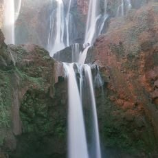
Ouzoud Falls
25.4 km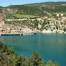
Bin el Ouidane Dam
51.4 km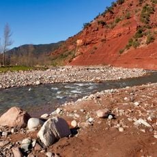
Ourika Valley
100.3 km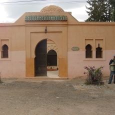
Aghmat
98.1 km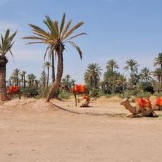
Palmeraie
97.8 km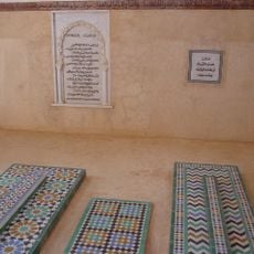
ضريح المعتمد بن عباد
97.9 km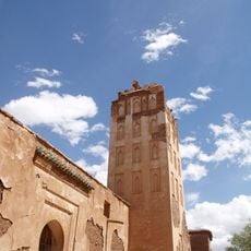
Telouet Kasbah
78.7 km
Ouled Zyan tribe
80.1 km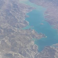
Al Massira Dam
84.4 km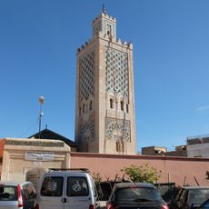
Ben Salah Mosque
101.7 km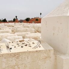
Jewish Cemetery of Marrakech
101.8 km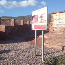
موقع ايواريضن
26.7 km
House of Photography in Marrakech
101.8 km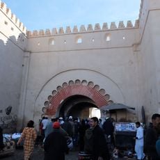
Bab El Khemis (Marrakech)
101.5 km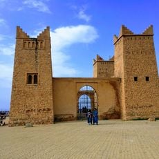
Kasbah of Beni Mellal
72.9 km
Bab Aghmat
101.3 km
Imi-n-Ifri Formation
74.3 km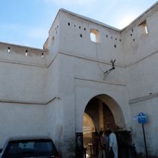
Bab Debbagh
101.2 km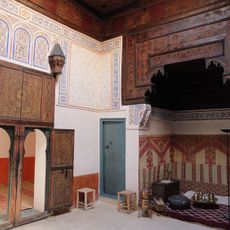
Mouassine Museum
100.8 km
House of photography
101.8 km
Smile Park
100.7 km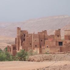
Ksar of Tamdakht
98.4 km
Museum of African Contemporary Art Al Maaden (MACAAL)
100.1 km
The Orientalist Museum of Marrakech
101.9 km
Azilal museum
39.2 km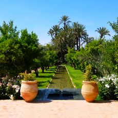
Musée de la palmeraie, Art contemporain et nature
97.7 km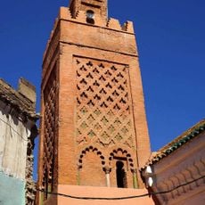
Al-Wusta Mosque
101.9 km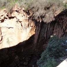
Iminifri Cave
26.2 kmReviews
Visited this place? Tap the stars to rate it and share your experience / photos with the community! Try now! You can cancel it anytime.
Discover hidden gems everywhere you go!
From secret cafés to breathtaking viewpoints, skip the crowded tourist spots and find places that match your style. Our app makes it easy with voice search, smart filtering, route optimization, and insider tips from travelers worldwide. Download now for the complete mobile experience.

A unique approach to discovering new places❞
— Le Figaro
All the places worth exploring❞
— France Info
A tailor-made excursion in just a few clicks❞
— 20 Minutes