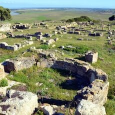
Tangier-Tetouan-Al Hoceima, Administrative region in northern Morocco
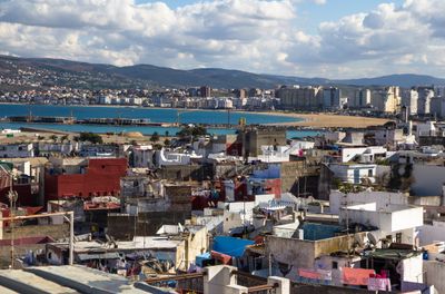
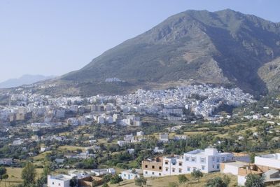
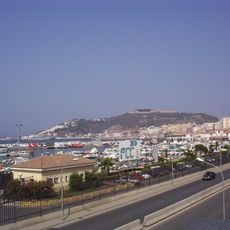
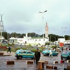
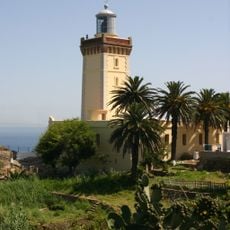
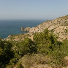
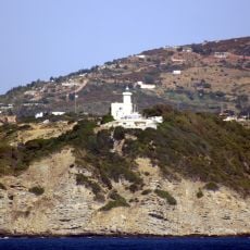
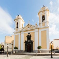
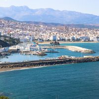
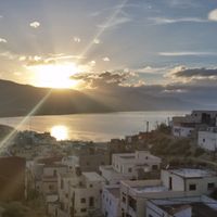
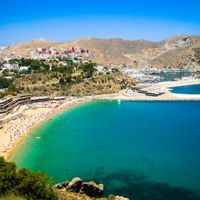
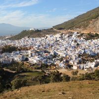
Tangier-Tetouan-Al Hoceima is an administrative region in northern Morocco with diverse landscapes ranging from Mediterranean coasts to the Rif Mountains. The region includes historic cities, coastal towns, and mountain villages connected by roads that follow the natural terrain.
The region was formed in 2015 through an administrative reorganization that combined two former divisions into a single entity. This restructuring aimed to unify northern areas under one governance structure for improved regional coordination.
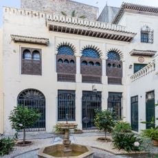
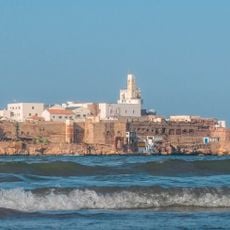
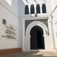
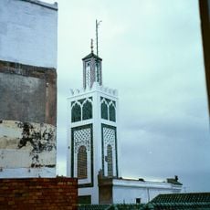
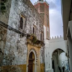
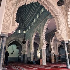
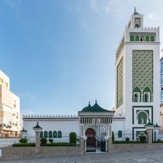
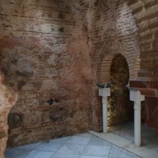
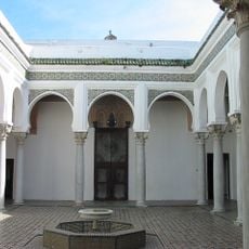
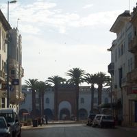
The medina of Tetouan displays Arab-Andalusian architecture with narrow streets where artisans continue traditional crafts in small workshops. Visitors can observe weavers, potters, and metalworkers practicing techniques passed down through families in these historic quarters.
The region is connected through Tangier Ibn Battouta Airport for international travel and the A1 expressway linking to other parts of the country. Visitors arriving from major cities like Rabat can travel by car or bus along well-maintained roads, with spring and fall offering the most comfortable weather.
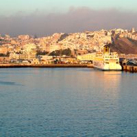
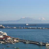
The Tanger-Med container port is one of Africa's busiest maritime hubs, handling thousands of containers daily between Europe and Africa. Many visitors overlook this major economic engine of the region, yet it fundamentally shapes regional activity and employment.
The community of curious travelers
AroundUs brings together thousands of curated places, local tips, and hidden gems, enriched daily by 60,000 contributors worldwide.