Kayes, city in Mali
Kayes is a large city in western Mali, situated on the banks of the Senegal River and serving as the capital of the Kayes Region. The city lies in a flat landscape and spreads on both sides of the river, which forms a natural boundary within the urban area.
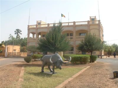
Kayes was established in the 19th century as one of the first French colonial administrative posts in what is now Mali, serving as a base for expeditions into the interior. After Mali gained independence in 1960, it kept its role as the regional center.
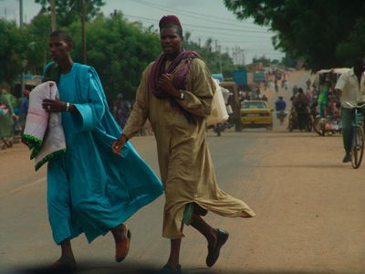
Kayes is known as one of the hottest cities in the world, and locals have shaped their daily routines around this reality: markets and streets fill up early in the morning and again in the late afternoon when temperatures drop. Along the riverbank, fishermen and traders gather, giving those hours a particular energy.
The Senegal River cuts through the city, so knowing about local crossing options before moving between neighborhoods saves time. Because of the extreme heat, it is best to plan any walking or outdoor activity in the early morning or late afternoon.
Kayes is considered one of the hottest permanently inhabited cities on Earth, with temperatures that regularly exceed 113 degrees Fahrenheit (45 degrees Celsius) in April and May. This location in a heat basin between the Sahel and the river valley has shaped daily life here more than any other factor.
The community of curious travelers
AroundUs brings together thousands of curated places, local tips, and hidden gems, enriched daily by 60,000 contributors worldwide.