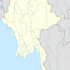
Kabaw Valley, Valley in Sagaing Division, Myanmar
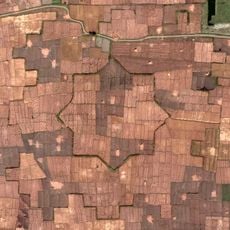
The Kabaw Valley stretches between the Yomadong mountain range and the Chindwin River, with two main rivers shaping its landscape. The Kabaw River waters agricultural areas in the north, while the Myittha River flows through the south, and mountain passages connect this region to its neighbors.
In 1834, following peace negotiations after a conflict, the valley was returned to Burmese control from British administration, ending a period under Manipuri influence. This transfer shaped the region's political boundaries and allegiances.
The valley connects the Manipuri town of Humine with the Burmese town of Zedi, serving as a meeting point where trade and community connections have developed over time. This cross-border link has shaped how people in the region interact and do business.
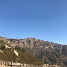
Visitors should expect variable road conditions because mountains surround the area and limit easy access. It helps to ask local people about the best routes and plan for extended travel times.
Historical records show that despite its fertile soil, the valley remained difficult to reach for much of its past, which shaped its economic growth. This tension between farming potential and geographic isolation still characterizes the area today.
The community of curious travelers
AroundUs brings together thousands of curated places, local tips, and hidden gems, enriched daily by 60,000 contributors worldwide.