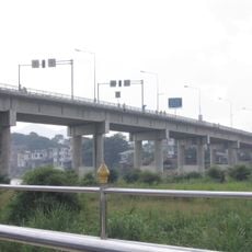
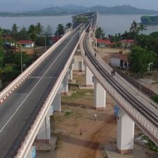
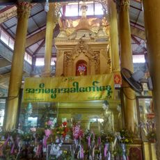
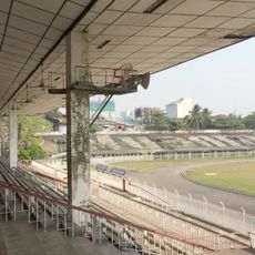
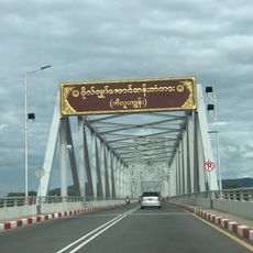
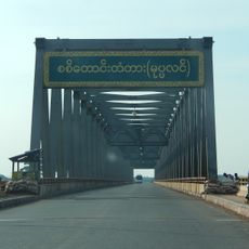
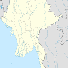
Thaton District, district in Mon State, Myanmar
Location: Mon State
Capital city: Thaton
GPS coordinates: 17.00000,97.50000
Latest update: May 5, 2025 15:27
Kyaiktiyo Pagoda
68.7 km
Shwemawdaw Paya
113.1 km
Kanbawzathadi Palace
113.3 km
Thai-Myanmar Friendship Bridge
113.7 km
Kyaik Pun Paya
115.8 km
Thanlwin Bridge
55.9 km
Kyaikthanlan Pagoda
58.5 km
Kyaik Htee Saung
39.3 km
Kyauk Ka Lat Pagoda
25.2 km
Saddan Cave
37.1 km
Kalyani Ordination Hall
116.2 km
Sandawshin Zwegabin Pagoda
26.6 km
Kaw Goon Cave
21.8 km
Hintha Gon Pagoda
112.3 km
Yamanya Stadium
57.7 km
General Aung San Bridge
63.3 km
Uzina Pagoda
60.2 km
Sittaung Bridge
83.3 km
Thanlwin Bridge (Hpa-An)
21.2 km
Hpa-An University
21.2 km
Mahniyadanar Sandawshin Pagoda
111.5 km
Holy Family Cathedral in Mawlamyine
59.6 km
Win Sein Taw Ya
79 km
St Patrick's Church
58.6 km
Donthami River
35.3 km
Historic site
57.6 km
Water Wave World
58.2 km
Line of Monks Up Hill
80.2 kmReviews
Visited this place? Tap the stars to rate it and share your experience / photos with the community! Try now! You can cancel it anytime.
Discover hidden gems everywhere you go!
From secret cafés to breathtaking viewpoints, skip the crowded tourist spots and find places that match your style. Our app makes it easy with voice search, smart filtering, route optimization, and insider tips from travelers worldwide. Download now for the complete mobile experience.
A unique approach to discovering new places❞
— Le Figaro
All the places worth exploring❞
— France Info
A tailor-made excursion in just a few clicks❞
— 20 Minutes