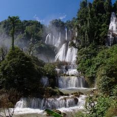
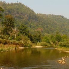
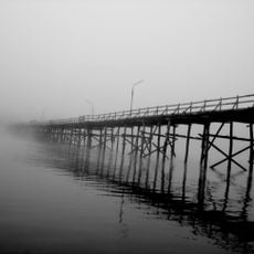
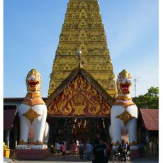
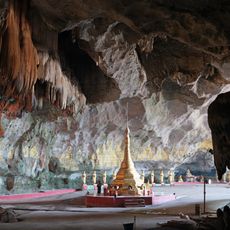
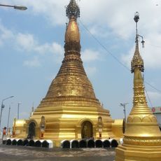
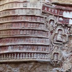
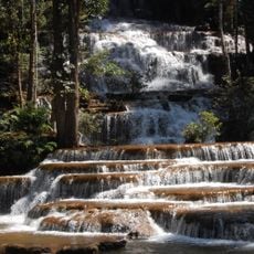
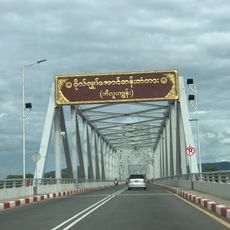
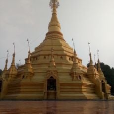
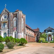
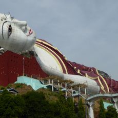
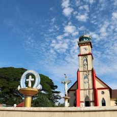
Mawlamyine District, district of the Mon State in Myanmar
Location: Mon State
Elevation above the sea: 163 m
GPS coordinates: 15.76667,97.85000
Latest update: March 7, 2025 13:27
Thi Lo Su waterfall
98.3 km
Thungyai Naresuan Wildlife Sanctuary
124.1 km
Uttamanusorn Bridge
94.6 km
Leke
52.2 km
Wat Wang Wiwekaram
95.9 km
Thanbyuzayat War Cemetery
26.9 km
Thanlwin Bridge
86.5 km
Khao Laem National Park
115.3 km
Kyaikthanlan Pagoda
83.9 km
Kyauk Ka Lat Pagoda
119.2 km
Saddan Cave
109.3 km
Sandawshin Zwegabin Pagoda
119.3 km
Kaw Goon Cave
120.8 km
Yamanya Stadium
84.6 km
Nam Tok Pha Charoen National Park
123 km
General Aung San Bridge
79.3 km
Uzina Pagoda
82.1 km
Thanlwin Bridge (Hpa-An)
122.4 km
Wat Nong Luang
102.9 km
Mahniyadanar Sandawshin Pagoda
34.7 km
Holy Family Cathedral in Mawlamyine
82.8 km
Win Sein Taw Ya
63.4 km
St Patrick's Church
83.7 km
Donthami River
107 km
Historic site
84.8 km
Line of Monks Up Hill
62.2 km
Kyauktalon Taung
63.2 km
Phabaung Taung
58.1 kmReviews
Visited this place? Tap the stars to rate it and share your experience / photos with the community! Try now! You can cancel it anytime.
Discover hidden gems everywhere you go!
From secret cafés to breathtaking viewpoints, skip the crowded tourist spots and find places that match your style. Our app makes it easy with voice search, smart filtering, route optimization, and insider tips from travelers worldwide. Download now for the complete mobile experience.
A unique approach to discovering new places❞
— Le Figaro
All the places worth exploring❞
— France Info
A tailor-made excursion in just a few clicks❞
— 20 Minutes