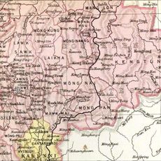
Mongnai State, Historical state in eastern Myanmar.
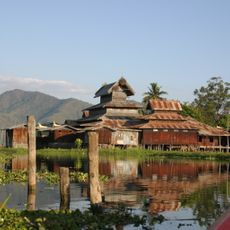
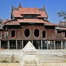
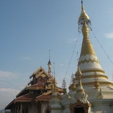
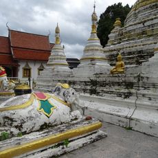
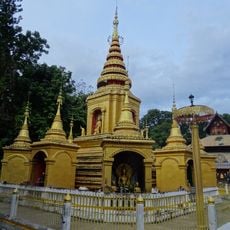
Mongnai State was a historical kingdom in eastern Myanmar within the Southern Shan States region. The territory included mountainous land and several smaller substates that operated under a centralized administration.
The kingdom emerged before 1800 from the predecessor state of Saturambha and expanded by incorporating Kenghkam in 1882. It retained its independence until 1959, when it merged with the larger Shan State.
The state operated under the Saopha system of governance, where rulers held the title of Myoza and maintained traditional Shan administrative practices.
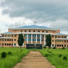
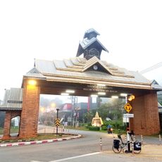
The former state territory lies in a mountainous area, accessible from the lowlands below. Visitors should keep in mind that these are historical boundaries no longer used for current administration.
Located at coordinates 20.516667 latitude and 97.866667 longitude, Mongnai State included multiple substates such as Kengtawng and Kenghkam within its boundaries.
The community of curious travelers
AroundUs brings together thousands of curated places, local tips, and hidden gems, enriched daily by 60,000 contributors worldwide.