Guerou, department in Mauritania
Location: Assaba Region
Elevation above the sea: 345 m
GPS coordinates: 16.82990,-11.83730
Latest update: April 7, 2025 21:28

Chinguetti
407.3 km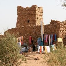
Ouadane
457.3 km
Niokolo-Koba National Park
445.2 km
Stade Olympique
462.8 km
Chinguetti Mosque
408.3 km
Aoukar Depression
280.3 km
Boucle du Baoulé National Park
440.4 km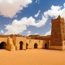
Ancient Ksour of Ouadane, Chinguetti, Tichitt and Oualata
456.8 km
Terjit
403.9 km
Mosque Saudique
461.6 km
Gouina Falls
323.1 km
National Museum of Mauritania
461 km
National Library of Mauritania
461.1 km
Félou Falls
280.4 km
Lake Manantali
439.1 km
Museum of Ouadane
457.3 km
Talari Gorges
351.8 km
Mosque Marocaine
461.4 km
Tata of Koniakary
269.8 km
Ibn Abbas Mosque
461.4 km
Eisenbahnbrücke von Kidira
266.8 km
Straßenbrücke von Kidira
267.2 km
Isla Pasari
423.4 km
Simbalo
443.9 km
Fort de Médine
277.7 km
Ksar of Ouadane
456.9 km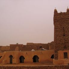
Ksar of Chinguetti
408.3 km
Stade Bassi Coulibaly
268.9 kmVisited this place? Tap the stars to rate it and share your experience / photos with the community! Try now! You can cancel it anytime.
Discover hidden gems everywhere you go!
From secret cafés to breathtaking viewpoints, skip the crowded tourist spots and find places that match your style. Our app makes it easy with voice search, smart filtering, route optimization, and insider tips from travelers worldwide. Download now for the complete mobile experience.

A unique approach to discovering new places❞
— Le Figaro
All the places worth exploring❞
— France Info
A tailor-made excursion in just a few clicks❞
— 20 Minutes