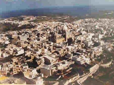
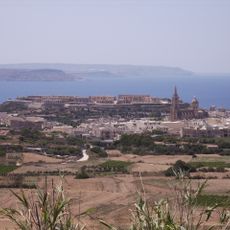
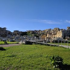
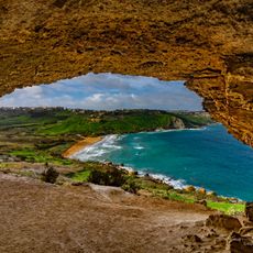
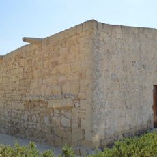
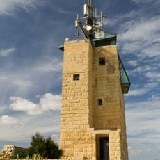
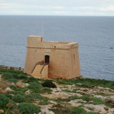
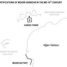
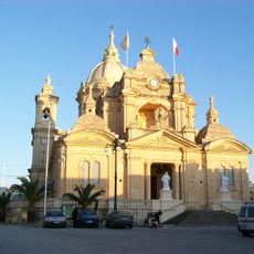
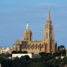
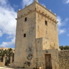
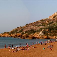
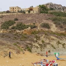
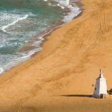
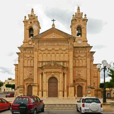
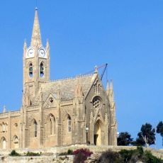
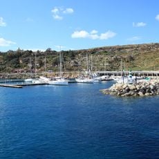
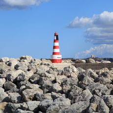
Nadur, local council of Malta
Location: Gozo Region (Ghawdex)
Elevation above the sea: 124 m
Part of: Gozo Region (Ghawdex)
Website: http://nadur.gov.mt
GPS coordinates: 36.03806,14.29500
Latest update: March 10, 2025 04:37
Megalithic Temples of Malta
2.6 km
Ġgantija
2.5 km
Xagħra Stone Circle
2.9 km
Fort Chambray
1.7 km
Muzeum Ġgantija
2.7 km
Mixta Cave
2.9 km
St. Cecilia Chapel
2.2 km
Ta' Kenuna Tower
1 km
Isopu Tower
2.3 km
Garzes Tower
1.2 km
Basilica of St. Peter and St. Paul, Nadur
64 m
Our Lady of Loreto Parish Church
1.4 km
Santa Cecilia Tower
2.1 km
Ramla Right Battery
2.8 km
Ramla Left Battery
2.8 km
Ramla Redoubt
2.8 km
Għejzu Cave
2.8 km
Parish Church of St. Joseph, Qala
1.5 km
Our Lady of Lourdes Church
1.4 km
Mġarr North Lighthouse
1.6 km
Mġarr Main Lighthouse
1.4 km
Xagħra Stone Circle headless seated figurine with hands on thighs
2.9 km
Headless seated figurine crossed hands
2.9 km
Seated figurine, with incised lines for hands on stomach
2.9 km
Twin-seated figurine
2.9 km
Red terracotta headless seated figurine, hands on thighs
2.9 km
Xagħra Stone Circle seated figurine with hands on stomach
2.9 km
Seated figurine looking up with left hand on thigh
2.9 kmReviews
Visited this place? Tap the stars to rate it and share your experience / photos with the community! Try now! You can cancel it anytime.
Discover hidden gems everywhere you go!
From secret cafés to breathtaking viewpoints, skip the crowded tourist spots and find places that match your style. Our app makes it easy with voice search, smart filtering, route optimization, and insider tips from travelers worldwide. Download now for the complete mobile experience.
A unique approach to discovering new places❞
— Le Figaro
All the places worth exploring❞
— France Info
A tailor-made excursion in just a few clicks❞
— 20 Minutes