Niger Delta, River delta in southern Nigeria
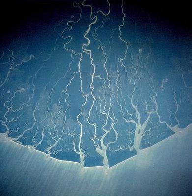
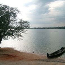
The Niger Delta extends over 70,000 square kilometers where the Niger River branches into numerous waterways before emptying into the Gulf of Guinea.
In 1885, the British established the Oil Rivers Protectorate in the region due to its palm oil production before transitioning to petroleum extraction.
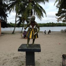
The Niger Delta contains more than 40 ethnic groups, including Ijaw, Ibibio, and Urhobo peoples, who speak over 250 distinct dialects across the region.
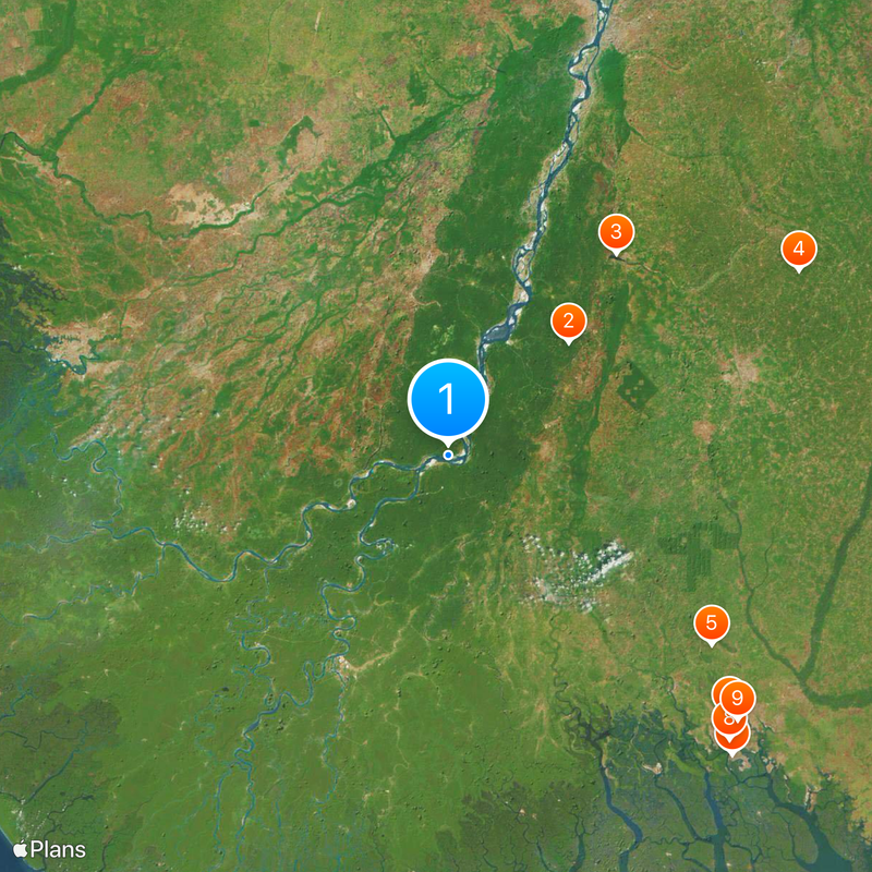
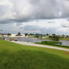
Local communities depend on fishing activities and agriculture for sustenance, while the region produces 75 percent of Nigeria's petroleum exports.
The delta's complex network of distributaries creates an extensive system of mangrove forests that serve as breeding grounds for numerous fish species.
Location: Tambakounda
Location: Bamako
Location: Timbuktu
Location: Lokoja
Location: Onitsha North
GPS coordinates: 5.32611,6.47083
Latest update: May 26, 2025 19:43
Satellite imagery has transformed how we view remote locations on Earth, offering perspectives on places that are often invisible or difficult to reach from ground level. This collection presents natural formations, artificial structures and historical sites from an aerial vantage point. From geological features like the circular Richat Structure in Mauritania's desert to ancient geoglyphs and modern engineering achievements, these images provide a distinct view of our planet's diversity. Locations documented include the geometric Nazca Lines in Peru, the pyramid structure of El Castillo in Mexico's Yucatán Peninsula and the Badlands Guardian in Alberta, a natural rock formation that resembles a head wearing headphones when seen from above. The collection also features Palm Jumeirah in Dubai, an artificial archipelago shaped like a palm tree, the vivid blue potash evaporation ponds in Utah, the pink waters of Lake Hillier in Western Australia and the volcanic island of Surtsey off Iceland. Additional examples include the Atacama Giant in Chile, a prehistoric geoglyph, the heart shaped Galesnjak island off Croatia's coast and the ship graveyard of the former Aral Sea in Uzbekistan, which documents the ecological consequences of human intervention.
South South
34.8 km
Oguta Lake
55.4 km
Jesus de Greatest
83.8 km
Adokiye Amiesimaka Stadium
68.4 km
Port Harcourt Pleasure Park
80.9 km
Port Harcourt Tourist Beach
87.1 km
Isaac Boro Park
84.3 km
Yakubu Gowon Stadium
82.7 km
Port Harcourt Zoo
85.8 km
Warri Stadium
81.8 km
Dental and Maxillofacial Hospital Port Harcourt
83.2 km
Assumpta Cathedral, Owerri
63.7 km
Samson Siasia Sports Stadium
49.3 km
Gabros Stadium
87.1 km
McCarthy beach
68.1 km
Underground water Reservoir and Eartn Retaining Wall Works
81.1 km
NYSC Permanent Orientation Camp Imo State
81.8 km
Garden City Amusement Park
80.5 km
Ifoko beach, Rivers
87.1 km
Roey amusement park
79.5 km
Ogbunabali, Diobu, Nigeria - panoramio (2)
81.5 km
African Lady friying " BONS" for a local event
81.2 km
A distant eruption (15304776819)
85.2 km
Mosque at mile 1
83.5 km
Mbari cultural center
65.6 km
Afterglow (15468567026)
85.2 km
Nigerian dish called "bole"
85.7 km
St Paul's Cathedral, Oleh
33 kmReviews
Visited this place? Tap the stars to rate it and share your experience / photos with the community! Try now! You can cancel it anytime.
Discover hidden gems everywhere you go!
From secret cafés to breathtaking viewpoints, skip the crowded tourist spots and find places that match your style. Our app makes it easy with voice search, smart filtering, route optimization, and insider tips from travelers worldwide. Download now for the complete mobile experience.
A unique approach to discovering new places❞
— Le Figaro
All the places worth exploring❞
— France Info
A tailor-made excursion in just a few clicks❞
— 20 Minutes