Enable Location

We need your location to show you interesting places around you

Discover nearby places

Find interesting locations and hidden gems around you

Precise directions

Get accurate directions and distances to places

Your location is never shared with other users. It's only used when you tap the location button.

Kwara State

Log in to your account

Start exploring — it's free

Trusted by 62,081 travelers worldwide

Continue with Google
Continue with Apple
or

We will send you a code to connect

By continuing, you accept our Terms and Conditions and our Privacy Policy

Check your inbox

We've sent a pincode in your inbox. Please enter the code below.

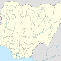
Kwara State, Administrative state in western Nigeria.

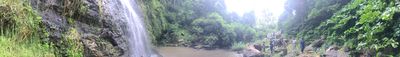
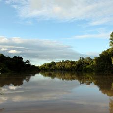
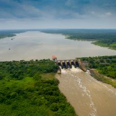
Kwara State is an administrative division in western Nigeria that extends from wooded savanna in the north to forested areas in the south. The River Niger crosses the territory from north to west, forming natural borders with neighboring regions.

The Nigerian military government created this administrative unit on May 27, 1967, when the country was reorganized into twelve regions. Later boundary changes separated Kogi and parts of Osun, shaping the current borders.

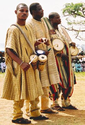
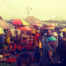
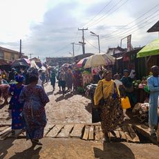
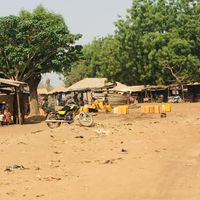
The name comes from the River Niger, locally called Kwara, which flows through the territory. Markets in larger towns display handwoven cloth and pottery made using methods passed down through generations.

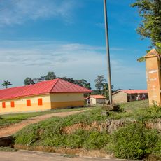
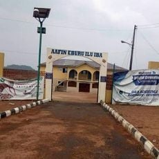
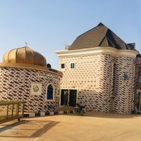
Ilorin serves as the capital and has an international airport with connections to Lagos and Abuja. Intercity buses run regularly between larger towns and villages across the region.

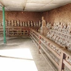
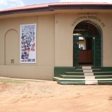
The Esie Museum holds over eight hundred half-life-size stone figures found in a small forest area, and their origin remains a mystery. The bronze artifacts from Jebba Island are among the oldest metal finds in the region.

The community of curious travelers

AroundUs brings together thousands of curated places, local tips, and hidden gems, enriched daily by 60,000 contributors worldwide.

Start exploring
Location
Inception
May 27, 1967
Capital city
Ilorin
Elevation above the sea
377.9 m
Shares border with
Niger State, Kogi State, Ekiti State, Osun State, Oyo State
GPS coordinates
8.50000,5.00000
Latest update
December 12, 2025 23:42
« Kwara State - Administrative state in western Nigeria » is provided by Around Us (aroundus.com). Images and texts are derived from Wikimedia project under a Creative Commons license. You are allowed to copy, distribute, and modify copies of this page, under the conditions set by the license, as long as this note is clearly visible.

Discover hidden gems everywhere you go!

From secret cafés to breathtaking viewpoints, skip the crowded tourist spots and find places that match your style. Our app makes it easy with voice search, smart filtering, route optimization, and insider tips from travelers worldwide. Download now for the complete mobile experience.

Around Us App Screenshot

A unique approach to discovering new places

Le Figaro

All the places worth exploring

France Info

A tailor-made excursion in just a few clicks

20 Minutes

Around Us
Travel Guide & Maps
Download

Send to your phone

QR Code
1

Open the camera app on your mobile.

2

Point at the QR code with your camera. A notification will appear.

3

Tap the notification to open the link.