Enable Location

We need your location to show you interesting places around you

Discover nearby places

Find interesting locations and hidden gems around you

Precise directions

Get accurate directions and distances to places

Your location is never shared with other users. It's only used when you tap the location button.

Niger State

Log in to your account

Start exploring — it's free

Trusted by 61,579 travelers worldwide

Continue with Google
Continue with Apple
or

We will send you a code to connect

By continuing, you accept our Terms and Conditions and our Privacy Policy

Check your inbox

We've sent a pincode in your inbox. Please enter the code below.

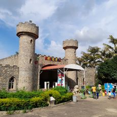
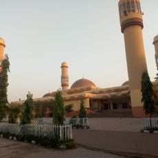
Niger State, Administrative region in North Central Nigeria

Description

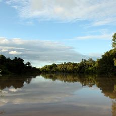
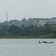
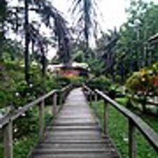
This administrative region spreads across a large territory in the north-central part of the country, bordered to the west by the Niger River, which gives it its name. The territory covers a wide range of landscapes, from wooded areas in the south to open plains in the north, cut by seasonal rivers during the rainy months.

History

The British colonial administration created this province in the early 20th century and changed its name several times before it took its current form after independence. The boundaries have been adjusted over the decades to better accommodate the different ethnic groups living in the area.

Culture

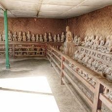
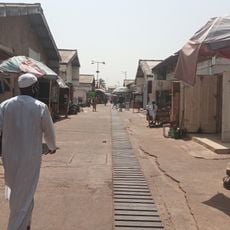
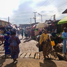
The Nupe people, concentrated in the southern region, maintain their traditions through metalwork, pottery creation, and glass manufacturing passed down through generations.

Practical

Distances between main towns can be considerable, so careful planning of routes and overnight stops is advisable. During the rainy season between May and October, some roads and tracks may become difficult to pass.

Did you know?

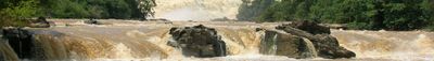
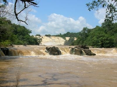
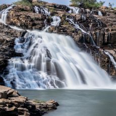
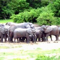
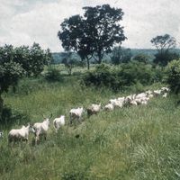
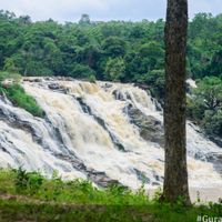
The area is home to three major dams that together supply a large share of the electrical power for the entire country. One of these reservoirs also forms the basis for an extensive national park that protects a wide range of animal species.

Location
Inception
February 3, 1976
Capital city
Minna
Shares border with
Kebbi State, Zamfara State, Kaduna State, Federal Capital Territory, Kogi State, Kwara State
GPS coordinates
10.00000,6.00000
Latest update
December 13, 2025 16:00

AroundUs brings together thousands of curated places, local tips, and hidden gems, enriched daily by 60,000 contributors worldwide. Discover all places nearby (Nigeria).

« Niger State - Administrative region in North Central Nigeria » is provided by Around Us (aroundus.com). Images and texts are derived from Wikimedia project under a Creative Commons license. You are allowed to copy, distribute, and modify copies of this page, under the conditions set by the license, as long as this note is clearly visible.

Discover hidden gems everywhere you go!

From secret cafés to breathtaking viewpoints, skip the crowded tourist spots and find places that match your style. Our app makes it easy with voice search, smart filtering, route optimization, and insider tips from travelers worldwide. Download now for the complete mobile experience.

Around Us App Screenshot

A unique approach to discovering new places

Le Figaro

All the places worth exploring

France Info

A tailor-made excursion in just a few clicks

20 Minutes

Around Us
Travel Guide & Maps
Download

Send to your phone

QR Code
1

Open the camera app on your mobile.

2

Point at the QR code with your camera. A notification will appear.

3

Tap the notification to open the link.