
Guma, local government area in Nigeria
Location: Benue State
Inception: May 1989
GPS coordinates: 7.82329,8.86324
Latest update: May 12, 2025 11:32
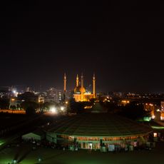
Abuja National Mosque
204.4 km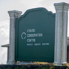
Obudu Mountain Resort
169.6 km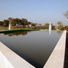
Millennium Park
204.5 km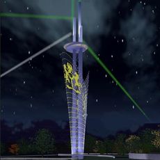
Millennium Tower
204 km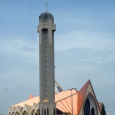
National Church of Nigeria
203.5 km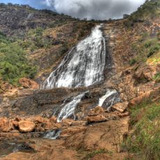
Farin Ruwa Falls
147.9 km
Children's Zoo
203.9 km
Donga River
133 km
Afi River Forest Reserve
181.3 km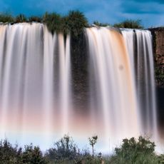
Matsirga waterfalls
203.7 km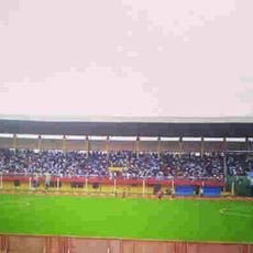
Aper Aku Stadium
39.1 km
École Française Marcel Pagnol
203.8 km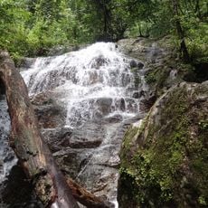
Afam, Rivers State
166.5 km
Old Bridge, Makurdi
36.7 km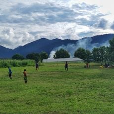
Mbe Mountains Community Forest
180.3 km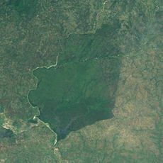
Pandam Wildlife Park
99.5 km
Abuja Securities and Commodities Exchange
204 km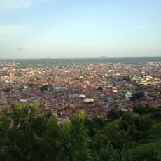
Maloney Hill
157.6 km
Riyom rock
181.1 km
Garki International Mosque
201.8 km
Alok Ikom Monoliths
169.2 km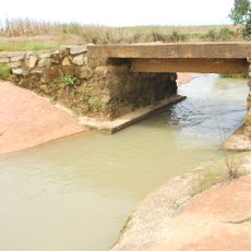
Stone Causeway at Tading, Bokkos
165 km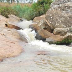
Stone Causeway at Forof, Bokkos
165 km
National Children Park and Zoo
203.3 km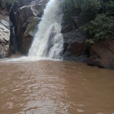
Assop Waterfalls
190.5 km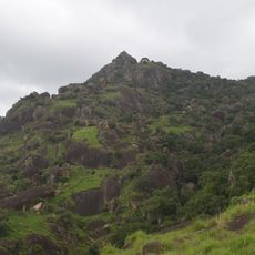
Gworog Mountain
203 km
Cedic plaza
204.3 km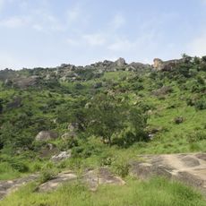
Kagoro Hills
200.4 kmReviews
Visited this place? Tap the stars to rate it and share your experience / photos with the community! Try now! You can cancel it anytime.
Discover hidden gems everywhere you go!
From secret cafés to breathtaking viewpoints, skip the crowded tourist spots and find places that match your style. Our app makes it easy with voice search, smart filtering, route optimization, and insider tips from travelers worldwide. Download now for the complete mobile experience.

A unique approach to discovering new places❞
— Le Figaro
All the places worth exploring❞
— France Info
A tailor-made excursion in just a few clicks❞
— 20 Minutes