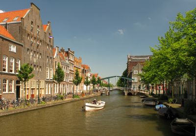
Oude Rijn, Ancient river channel in South Holland and Utrecht, Netherlands
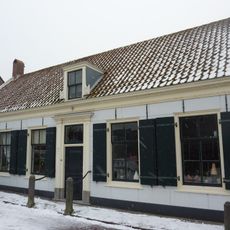
The Oude Rijn is a river channel that extends roughly 52 kilometers through South Holland and Utrecht, passing through towns like Woerden, Bodegraven, and Alphen aan den Rijn. Its banks vary from built-up urban areas to open farmland with visible water management infrastructure.
The waterway served as the northern boundary of the Roman Empire, with military fortifications built at strategic points such as Woerden and Zwammerdam. This defensive role shaped early settlements and influenced how the region developed over the following centuries.
The waterway reflects Dutch life through its traditional management practices that have evolved over centuries and remain visible in how locals interact with the banks. People use the shores for walking, boating, and simply spending time by the water in their daily routines.
Cycling paths follow the former towpaths along the banks, connecting urban centers and rural areas for both commuting and recreation. The routes are accessible from most towns and the flat paths make them easy to navigate on two wheels.
The waterway splits at several points and connects with other channels; near Leiden the Nieuwe Rijn branches off as a separate course. This network reflects the complex drainage system that shapes the flat Dutch landscape.
The community of curious travelers
AroundUs brings together thousands of curated places, local tips, and hidden gems, enriched daily by 60,000 contributors worldwide.