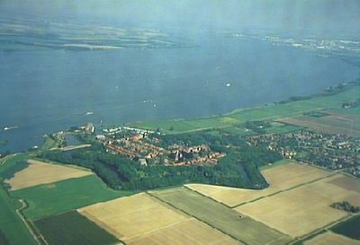
Hollands Diep, Protected river and wetland area in North Brabant and South Holland, Netherlands.
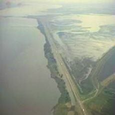
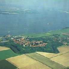
Hollands Diep is a river and wetland area that forms part of the Rhine-Meuse delta, situated between the Biesbosch nature reserve and the Haringvliet water system. This waterway connects multiple regions and serves as a key link in the larger delta landscape.
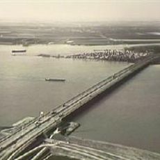
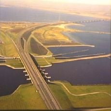
The construction of the Haringvlietsluizen dam in 1970 transformed this waterway from a tidal estuary into a freshwater river system. This change fundamentally altered the water conditions and habitat patterns throughout the area.
Multiple governmental organizations and nature conservation groups collaborate to maintain this water system that connects major Dutch provinces.
The area is best explored from the banks, where you can find various vantage points for viewing the water and wildlife. Accessibility varies with seasons and water conditions, so planning ahead helps make the most of your visit.
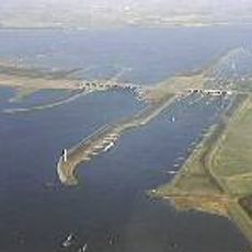
Several shoals and marshes line the northern bank, including Esscheplaat and Zeehondenplaat, which are known for their seal colonies. These shallow areas offer rare nesting sites for waterfowl and seabirds.
The community of curious travelers
AroundUs brings together thousands of curated places, local tips, and hidden gems, enriched daily by 60,000 contributors worldwide.