
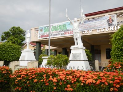
San Gabriel, municipality of the Philippines in the province of La Union
Location: La Union
Elevation above the sea: 150 m
Shares border with: Santol, Kapangan, Bagulin, Bacnotan, San Juan, San Fernando, Sugpon
Website: http://sangabriel.gov.ph
GPS coordinates: 16.66667,120.40000
Latest update: April 2, 2025 19:44
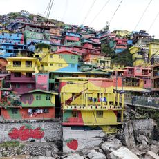
Valley of Colors
33.4 km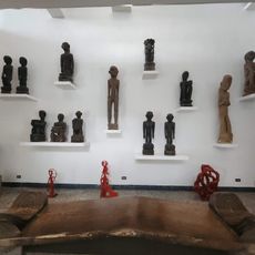
BenCab Museum
32.7 km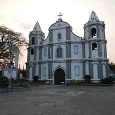
Namacpacan Church
20.9 km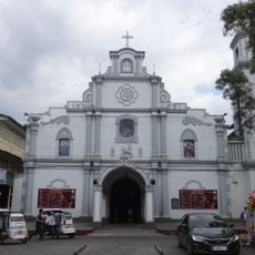
San Fernando Cathedral
10.4 km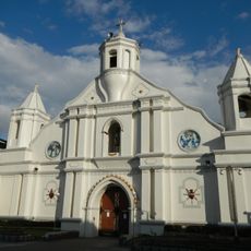
Bangar Church
25.3 km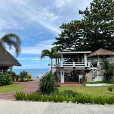
San Juan Surf Resort
8.6 km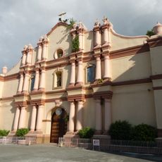
Balaoan Church
17.2 km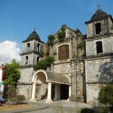
Bacnotan Church
7.7 km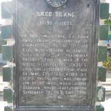
Diego Silang historical marker
26.9 km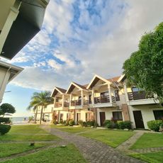
Lafaayette Luxury Suites
16.5 km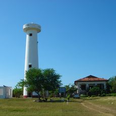
Poro Point Lighthouse
13.6 km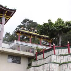
Bell Church
33.7 km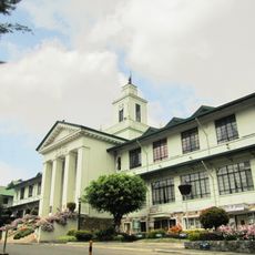
Baguio City Hall
34.8 km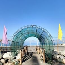
Villa Navarro Beach Resort
27.4 km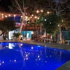
Casa La Playa
6.9 km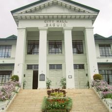
Baguio City Hall historical marker
34.8 km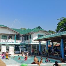
Alekin Beach Resort
16.1 km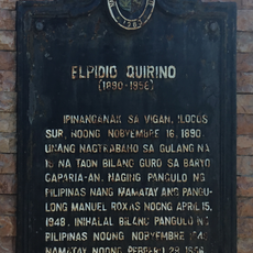
Elpidio Quirino historical marker
27.1 km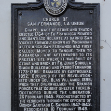
Church of San Fernando, La Union historical marker
10.5 km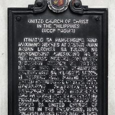
United Church of Christ in the Philippines historical marker
35 km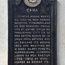
Caba historical marker
26.9 km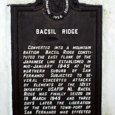
Bacsil Ridge historical marker
6.7 km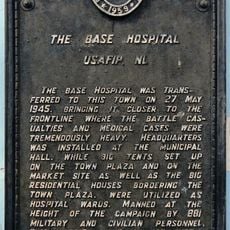
The Base Hospital historical marker
30.1 km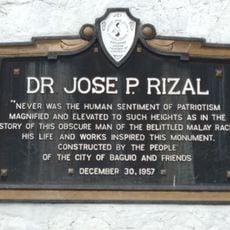
Jose Rizal historical markers
35 km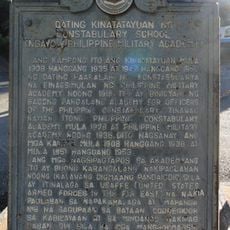
Former Site of the Constabulary School historical marker
34.7 km
Camp Spencer historical marker
18.5 km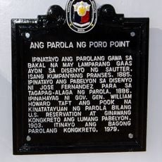
Poro Point Lighthouse historical marker
14 km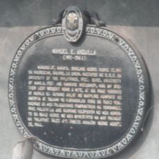
Manuel E. Arguilla historical marker
19 kmReviews
Visited this place? Tap the stars to rate it and share your experience / photos with the community! Try now! You can cancel it anytime.
Discover hidden gems everywhere you go!
From secret cafés to breathtaking viewpoints, skip the crowded tourist spots and find places that match your style. Our app makes it easy with voice search, smart filtering, route optimization, and insider tips from travelers worldwide. Download now for the complete mobile experience.

A unique approach to discovering new places❞
— Le Figaro
All the places worth exploring❞
— France Info
A tailor-made excursion in just a few clicks❞
— 20 Minutes