
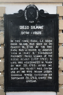
Diego Silang historical marker
Diego Silang historical marker, NHCP historical marker for Diego Silang
Location: Caba
Inception: 1963
Creator: National Historical Commission of the Philippines
Address: MacArthur Highway cor. Diego Silang Avenue
GPS coordinates: 16.43094,120.34476
Latest update: March 11, 2025 12:38
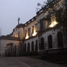
Dominican Hill Retreat House
26 km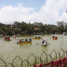
Burnham Park
26.8 km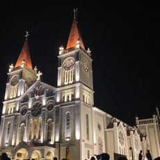
Baguio Cathedral
27.2 km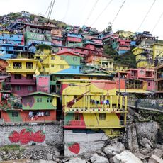
Valley of Colors
27 km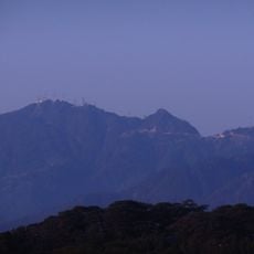
Mount Santo Tomas
25.5 km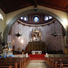
Agoo Basilica
12.3 km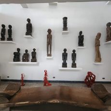
BenCab Museum
22.1 km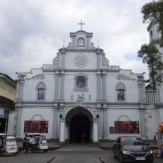
San Fernando Cathedral
20.8 km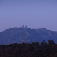
Mount Cabuyao
24.8 km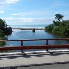
Agoo–Damortis Protected Landscape and Seascape
8.7 km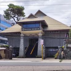
Baguio Museum
27.2 km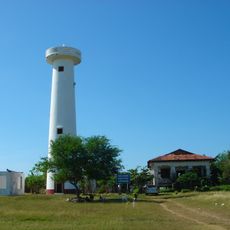
Poro Point Lighthouse
21.7 km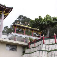
Bell Church
27.1 km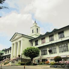
Baguio City Hall
26.4 km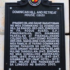
Dominican Hill and Retreat House historical marker
26 km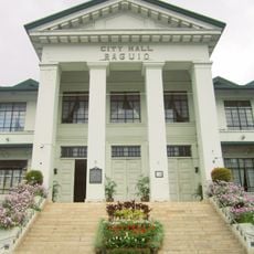
Baguio City Hall historical marker
26.4 km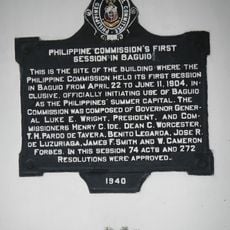
Philippine Commission’s First Session in Baguio historical marker
27.2 km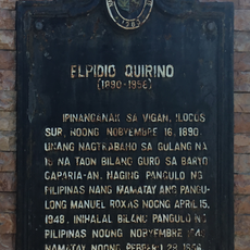
Elpidio Quirino historical marker
654 m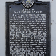
Church of San Fernando, La Union historical marker
20.8 km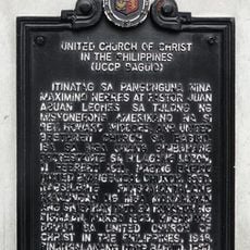
United Church of Christ in the Philippines historical marker
26.6 km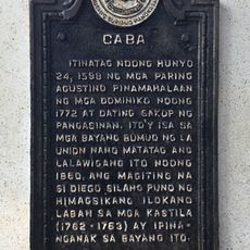
Caba historical marker
34 m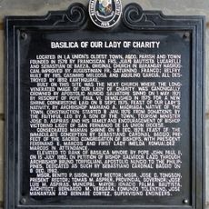
Basilica of Our Lady of Charity historical marker
12.3 km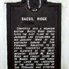
Bacsil Ridge historical marker
20.9 km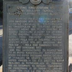
Former Site of the Constabulary School historical marker
26.5 km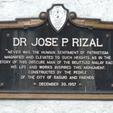
Jose Rizal historical markers
26.6 km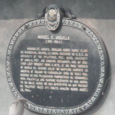
Manuel E. Arguilla historical marker
8.9 km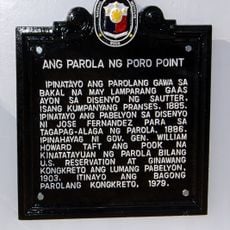
Poro Point Lighthouse historical marker
21.6 km
Dragon Treasure Castle
23.7 kmReviews
Visited this place? Tap the stars to rate it and share your experience / photos with the community! Try now! You can cancel it anytime.
Discover hidden gems everywhere you go!
From secret cafés to breathtaking viewpoints, skip the crowded tourist spots and find places that match your style. Our app makes it easy with voice search, smart filtering, route optimization, and insider tips from travelers worldwide. Download now for the complete mobile experience.

A unique approach to discovering new places❞
— Le Figaro
All the places worth exploring❞
— France Info
A tailor-made excursion in just a few clicks❞
— 20 Minutes