Cotabato, Administrative region in Mindanao, Philippines
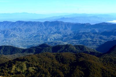
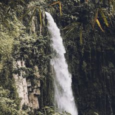
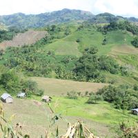
Cotabato is an administrative region in Mindanao that includes highlands near Mount Apo and fertile valleys along the Pulangi River system. The province stretches across a wide area with varied landscapes ranging from mountain ranges to agricultural plains.
The area formed a military district in 1860 under Spanish rule, covering territories that now belong to Cotabato, Maguindanao, and Sultan Kudarat. The colonial administration established this district to control and organize the southern regions of Mindanao.
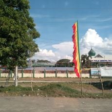
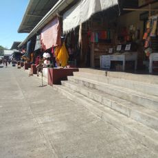
The name comes from Maguindanao words Kuta Wato, meaning Stone Fort, reflecting the military past of this historically Muslim region. Visitors today notice the mix of Islamic and indigenous traditions in the villages and markets across the province.
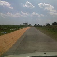
The province serves as an important agricultural center in Mindanao, producing cereals, tropical fruits, and rubber products. Travelers find rural areas crossed by rivers and mountain regions that can be explored on foot.
According to Manobo narratives, the land between the Kulaman and Pulangi Rivers represents pinamua, the original soil where earthly life began. This creation story links the rivers of the region with the beginnings of the world in local cosmology.
The community of curious travelers
AroundUs brings together thousands of curated places, local tips, and hidden gems, enriched daily by 60,000 contributors worldwide.