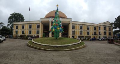
Kidapawan, Component city in Cotabato, Philippines
Kidapawan sits at the foot of Mount Apo in a region with varied terrain and elevations. The city spreads across agricultural land with numerous plantations and settlements woven throughout the landscape.
American authorities established Kidapawan as a municipal district in 1914, marking the start of modern local governance. This founding affected lands where Monuvu peoples had long resided and maintained their communities.
The Obo Monuvu people shape daily life here through their customs, celebrations, and community practices that remain active today. Their traditions influence how locals gather, share meals, and mark important moments together as a community.
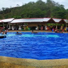
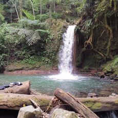
This agricultural city functions as a working farming region where bananas, rice, corn, and rubber are grown across various farms. Visitors should expect hilly terrain and wear suitable footwear for uneven paths and rural roads.
The name comes from the Obo Monuvu language and means 'to live near a spring in the highland,' reflecting how water sources shaped early settlement here. This language connection shows how the land and its resources guided where people chose to build their homes.
Location: Cotabato
Inception: August 18, 1947
Elevation above the sea: 491 m
Shares border with: President Roxas, Makilala
Website: http://kidapawancity.gov.ph
GPS coordinates: 7.00833,125.08944
Latest update: December 6, 2025 21:25
Mount Apo
20.2 km
Samal
71.3 km
Mount Matutum
72.2 km
Mount Ragang
99.8 km
San Pedro Cathedral
57.7 km
Monfort Bat Sanctuary
68.8 km
Fort Pikit
45.8 km
Epol Falls
52.2 km
Davao River Bridge
56.7 km
Mount Apo Natural Park
23.4 km
Secdea Beach Resort Reception Area
72.8 km
D' Bone Collector Museum
58.1 km
Museo Dabawenyo
56 km
Fuerte de Reina Regente
63.8 km
Tagum Cathedral
92.1 km
Burial Site of the Seventeen Filipino Martyrs of Koronadal historical marker
63.1 km
Davao City Hall historical marker
57.6 km
Andres Bonifacio historical marker
45.1 km
Davao Museum of History and Ethnography
62.5 km
Ohta Kyozaburo historical marker
46.4 km
MGG Resort
92.4 km
Museyo Kutawato
14.4 km
KCC Cinema
62.3 km
Koronadal Cathedral
63 km
Port Sta. Ana historical marker
59.7 km
Talisay Beach
41.6 km
Buhangin Memorial Park
59.3 km
Balnunto Falls
46.1 kmVisited this place? Tap the stars to rate it and share your experience / photos with the community! Try now! You can cancel it anytime.
Discover hidden gems everywhere you go!
From secret cafés to breathtaking viewpoints, skip the crowded tourist spots and find places that match your style. Our app makes it easy with voice search, smart filtering, route optimization, and insider tips from travelers worldwide. Download now for the complete mobile experience.
A unique approach to discovering new places❞
— Le Figaro
All the places worth exploring❞
— France Info
A tailor-made excursion in just a few clicks❞
— 20 Minutes