Northern Samar, Provincial division in Eastern Visayas, Philippines
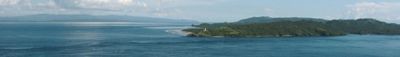
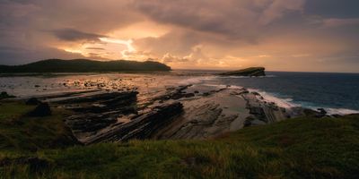
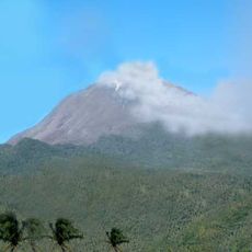
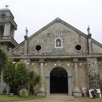
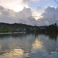
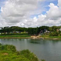
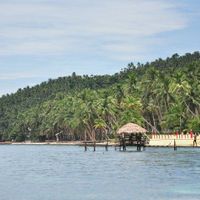
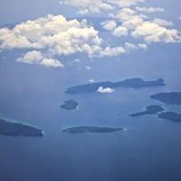
Northern Samar is a province in Eastern Visayas with a diverse coastal landscape and roughly 19 offshore islands. The region features white sand beaches, natural rock formations, and varied terrain ranging from shorelines to inland areas.
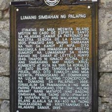
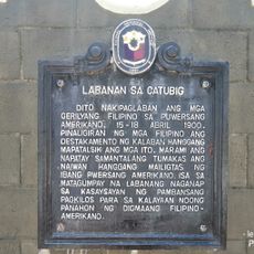
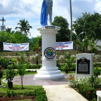
The province was created in 1965 when the original Samar territory was divided into three separate administrative regions. This reorganization came through formal legislative action and public approval of the change.
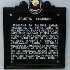
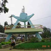
The Waray-Waray people shape daily life here through their language, traditions, and local celebrations that bring communities together. You notice their cultural presence in how neighbors interact and maintain their customs throughout the year.
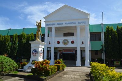
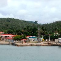
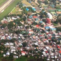
Visitors can reach the province by ferry from Calbayog or buses from Tacloban, with Catarman serving as the main administrative hub. The capital is a good starting point to get oriented and find local information before exploring further.
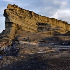
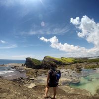
Biri Island displays striking rock formations shaped by centuries of Pacific waves, creating a natural coastal barrier. These geological structures define the region's character and mark the edge of the San Bernardino Strait.
The community of curious travelers
AroundUs brings together thousands of curated places, local tips, and hidden gems, enriched daily by 60,000 contributors worldwide.