Baler, Coastal municipality in Aurora Province, Philippines
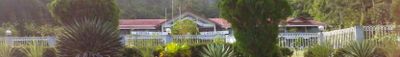
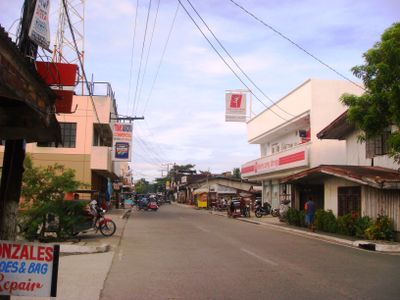
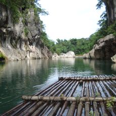
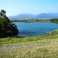
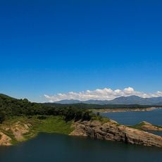
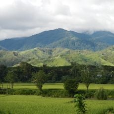
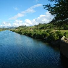
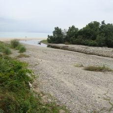
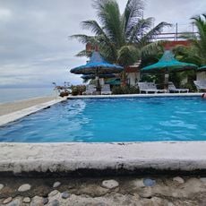
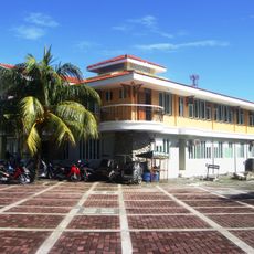
Baler is a coastal municipality in Aurora Province on the island of Luzon, stretching between forested hills and the Pacific Ocean. The settlement includes 13 districts with rice paddies, river mouths, and sandy beaches touched by waves from the open sea.
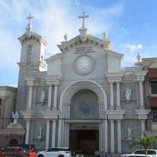
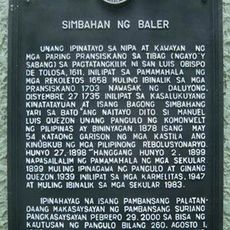
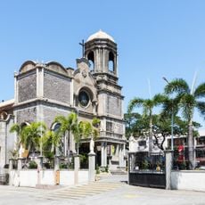
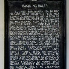
Spanish missionaries founded the settlement in 1609 under the leadership of Fray Blas Palomino after making contact with indigenous communities. A large tidal wave destroyed the original settlement of Kinagunasan in 1735, prompting survivors to establish the present site and name it after the Balete tree.
The name comes from the Balete tree, and residents call themselves Baleños, reflecting their connection to the sea and mountains of the region. Every June, families gather for historical commemorations that remember the shared past with Spain.
The municipality lies about 230 kilometers northeast of Manila and is reachable via overland roads that pass through mountainous terrain. Accommodations in different price ranges are available locally, and visitors should expect heavy rain during the typhoon season between June and November.
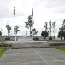
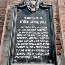
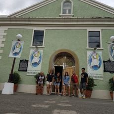
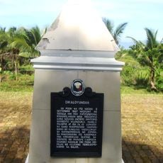
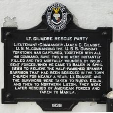
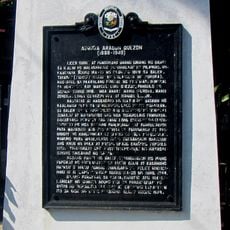
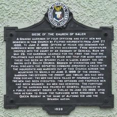
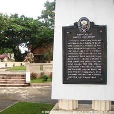
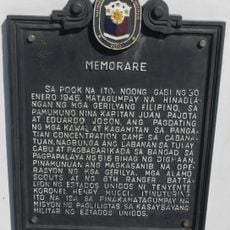
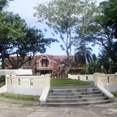
The Siege of Baler in 1898–1899 ended only after the Spanish-American War, when Spanish soldiers held out in the local church for nearly a year without contact with the outside world. Today, a small museum displays relics from these events and remembers the last outpost of the Spanish colonial empire in Asia.
Location: Aurora
Inception: August 19, 1609
Elevation above the sea: 118 m
Shares border with: Dipaculao, San Luis, Maria Aurora
Website: http://baler-aurora.gov.ph
GPS coordinates: 15.75833,121.56250
Latest update: December 4, 2025 23:42
Minalungao National Park
67.3 km
Cabanatuan American Memorial
62 km
Aurora Memorial National Park
26.6 km
Cabanatuan Cathedral
70.8 km
Pantabangan–Carranglan Watershed Forest Reserve
43.7 km
Mount Guiwan
36.2 km
Casecnan Protected Landscape
32.9 km
Dinadiawan River Protected Landscape
42.8 km
Baler Church
98 m
Death Place of General Antonio Luna historical marker
70.8 km
Doña Aurora Aragon-Quezon House
30 m
Church of Baler historical marker
74 m
Nueva Ecija High School historical marker
70.1 km
La Sunshine
37.9 km
Dikaloyungan historical marker
2.3 km
Lt. Gilmore Rescue Party historical marker
55 m
Aurora Aragon Quezon historical marker
41 m
Siege of the Church of Baler historical marker
73 m
Birthplace of Manuel Luis Quezon historical marker
157 m
Cathedral of Saint Joseph the Worker
61.5 km
Town of Baler historical marker
93 m
Diva Sunrise Beach Resort
38.5 km
Central Luzon State University historical marker
67.9 km
Baler Municipal Hall
98 m
Memorare historical marker (Raid at Cabanatuan)
62.1 km
Lazaro Francisco historical marker
71.4 km
Quezon Park
194 m
MGL Hotel & Resort
68.1 kmReviews
Visited this place? Tap the stars to rate it and share your experience / photos with the community! Try now! You can cancel it anytime.
Discover hidden gems everywhere you go!
From secret cafés to breathtaking viewpoints, skip the crowded tourist spots and find places that match your style. Our app makes it easy with voice search, smart filtering, route optimization, and insider tips from travelers worldwide. Download now for the complete mobile experience.
A unique approach to discovering new places❞
— Le Figaro
All the places worth exploring❞
— France Info
A tailor-made excursion in just a few clicks❞
— 20 Minutes