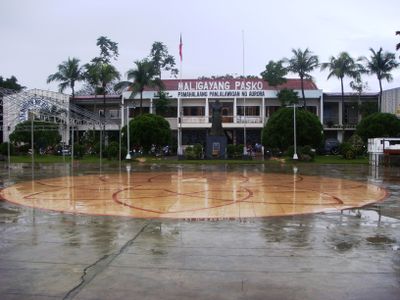
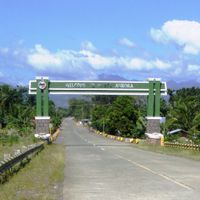
Aurora, Province in eastern Central Luzon, Philippines
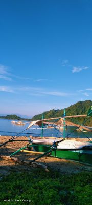
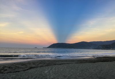
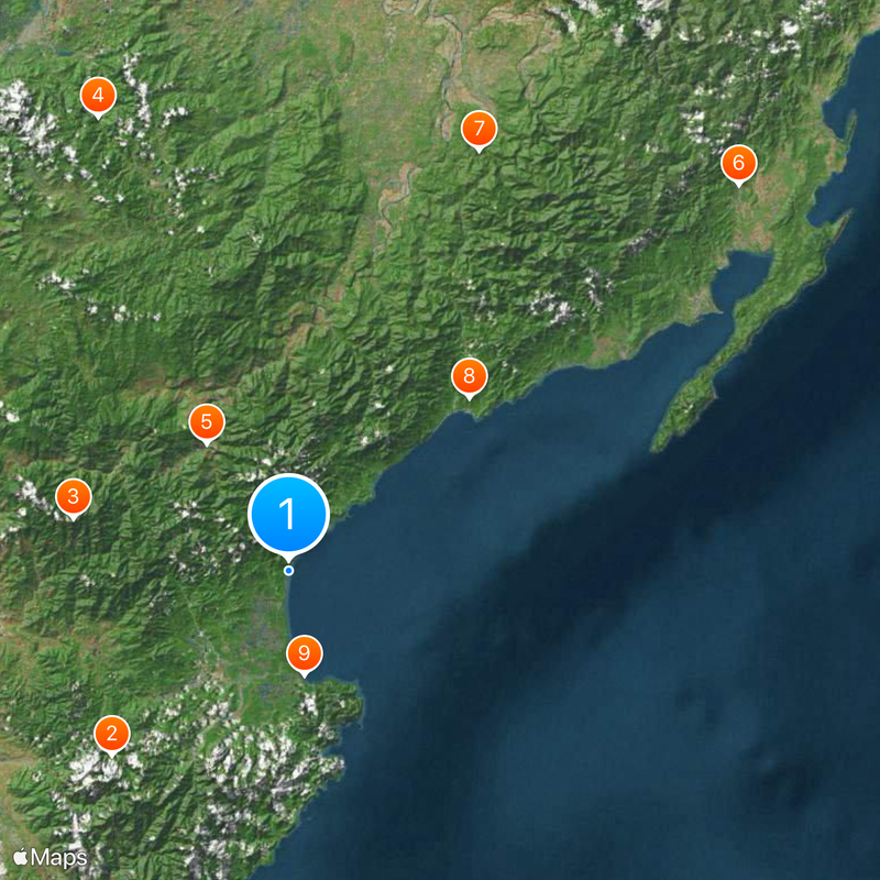
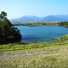
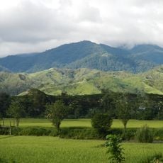
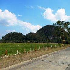
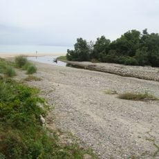
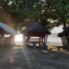
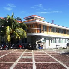
Aurora is a province on the eastern coast of Central Luzon in the Philippines, stretching between the Pacific Ocean and the forested slopes of the Sierra Madre range. The coastline alternates between rocky sections and long sandy beaches, while inland rivers wind through narrow valleys.
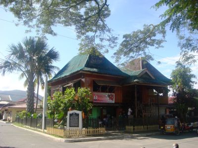
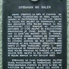
The territory separated from Quezon in 1979 and was named after the wife of Manuel Quezon, who led the Philippine independence movement. The first settlers arrived in the 17th century, when Spanish missionaries established small communities along the coast.
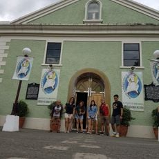
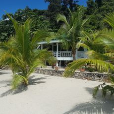
The name honors Aurora Quezon, remembered for her charity work and whose widowhood shaped her legacy. Visitors notice especially around Baler and Casiguran how fishermen haul in nets at dawn and families gather for celebrations on the shore.
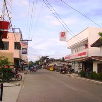
Travelers reach the area via winding roads through the mountains or by flying to the airport near the capital. The best time to visit falls between November and April, when roads stay dry and the sea becomes calmer.
A very old tree stands in Maria Aurora, estimated to be over a thousand years old and whose roots spread across an entire forest patch. In San Luis, trails lead to several waterfalls that end in natural pools.
The community of curious travelers
AroundUs brings together thousands of curated places, local tips, and hidden gems, enriched daily by 60,000 contributors worldwide.