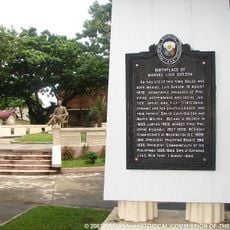
Amro River Protected Landscape, Protected river landscape in Casiguran and Dilasag, Philippines.
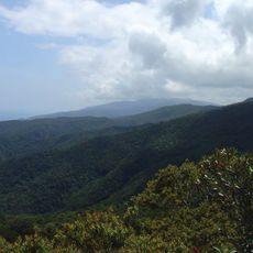
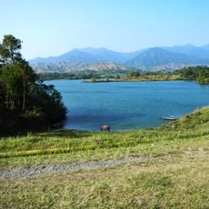
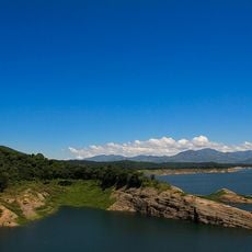
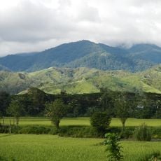
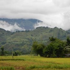
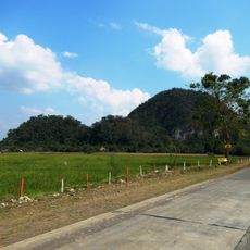
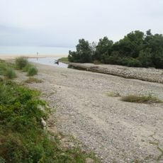
The Amro River Protected Landscape is a forested reserve in northern Aurora province covering approximately 6,500 hectares. The terrain rises from river valleys through forested slopes with varied elevation and natural water systems.
The area was established as a forest reserve in 1990 and later reclassified as a protected landscape in 2000. These designations reflected growing recognition of the region's environmental importance.
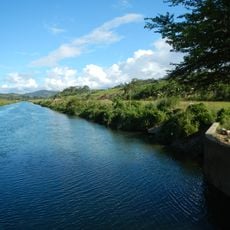
The landscape serves nearby communities as a water source for farming and daily life. Local residents depend on the river system for their livelihoods and continue traditional practices tied to this natural space.
The protected area extends from mountain ranges to coastal foothills with varying access depending on your route. Visitors should prepare for changing conditions and check with local guides since some sections are remote.
The forest contains native hardwood species such as tanguile, mayapis, and several lauan varieties that grow naturally in the mountain forests. These tree types play an important role in the region's forest composition.
Inception: 1990
GPS coordinates: 16.33718,122.09986
Latest update: December 14, 2025 16:43
Tumauini Church
109 km
Northern Sierra Madre Natural Park
88.4 km
Aurora Memorial National Park
110.9 km
Bayombong Cathedral
102.6 kmFuyot Springs National Park
94.7 km
Pantabangan–Carranglan Watershed Forest Reserve
114 km
Mount Guiwan
97.3 km
Salinas Natural Monument
115.6 km
Gamu Cathedral
87.5 km
Casecnan Protected Landscape
77.4 km
Saint Catherine of Siena Parish Church
106.4 km
Quirino Protected Landscape
34.2 km
Dinadiawan River Protected Landscape
44.9 km
Baler Church
86.3 km
Doña Aurora Aragon-Quezon House
86.3 km
Church of Baler historical marker
86.3 km
Casapsapan Beach
9.9 km
Dikaloyungan historical marker
87.3 km
Lt. Gilmore Rescue Party historical marker
86.3 km
Aurora Aragon Quezon historical marker
86.3 km
Siege of the Church of Baler historical marker
86.3 km
Birthplace of Manuel Luis Quezon historical marker
86.3 km
Town of Baler historical marker
86.3 km
Church of Tumauini historical marker
109 km
Baler Municipal Hall
86.3 km
Balay Na Santiago
70.6 km
Surrender of General Yamashita historical marker
118.8 km
Quezon Park
86.3 kmVisited this place? Tap the stars to rate it and share your experience / photos with the community! Try now! You can cancel it anytime.
Discover hidden gems everywhere you go!
From secret cafés to breathtaking viewpoints, skip the crowded tourist spots and find places that match your style. Our app makes it easy with voice search, smart filtering, route optimization, and insider tips from travelers worldwide. Download now for the complete mobile experience.
A unique approach to discovering new places❞
— Le Figaro
All the places worth exploring❞
— France Info
A tailor-made excursion in just a few clicks❞
— 20 Minutes