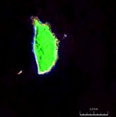
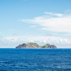
Mavudis, Northernmost island in Batanes Province, Philippines
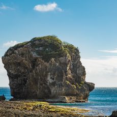
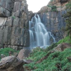
Mavudis is an island in Batanes Province, Philippines, rising sharply from the Luzon Strait with steep cliffs and rocky coasts. Mangrove vegetation covers the terrain, creating a rugged landscape shaped by strong winds and sea conditions.
The island was documented in Spanish colonial records and served for centuries as a fishing ground. In 2018, it transitioned to a strategic military outpost with the establishment of a Marine detachment.
Local fishermen from Itbayat and Basco maintain traditional fishing practices around Mavudis Island, adapting to the challenging maritime conditions of the Balintang Channel.
The island is difficult to reach and accessed mainly by sea, with occasional helicopter operations available. Visitors should expect rough conditions, and access depends heavily on weather and sea state.
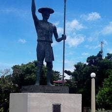
A prominent flagpole marks the absolute northernmost point of the nation, and the island lies remarkably close to Taiwanese waters. This exposed location makes it a symbolic marker of national boundaries.
The community of curious travelers
AroundUs brings together thousands of curated places, local tips, and hidden gems, enriched daily by 60,000 contributors worldwide.