
Loreto, municipality of the Philippines in the province of Agusan del Sur
Location: Agusan del Sur
Elevation above the sea: 335 m
Shares border with: La Paz, Kapalong, Veruela, Laak, San Fernando, Cabanglasan, Malaybalay
GPS coordinates: 8.18560,125.85380
Latest update: March 7, 2025 20:29
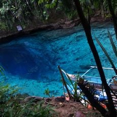
Hinatuan Enchanted River
63.4 km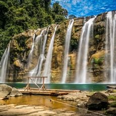
Tinuy-an Falls
41.3 km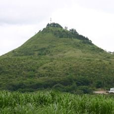
Musuan Peak
93 km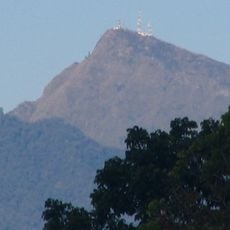
Mount Kitanglad
103.5 km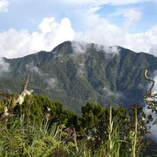
Mount Dulang-dulang
102.9 km
Agusan Marsh Wildlife Sanctuary
15.9 km
Pantaron Mountain Range
53.1 km
Aliwagwag Protected Landscape
76.4 km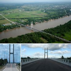
Macapagal Bridge
88.4 km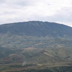
Balatukan
115.5 km
Monfort Bat Sanctuary
115.1 km
Epol Falls
106.1 km
Dahilayan Adventure Park
109.7 km
Andanan Watershed Forest Reserve
74.2 km
Secdea Beach Resort Reception Area
113.1 km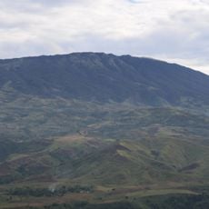
Mount Balatukan Range Natural Park
119.8 km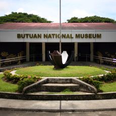
Butuan National Museum
92.7 km
Tagum Cathedral
83.1 km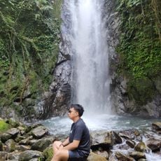
Tagbibinta Falls
102.9 km
Malaybalay Cathedral
79.9 km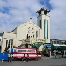
Butuan Cathedral
91.5 km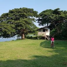
Balangay Shrine Museum
94.2 km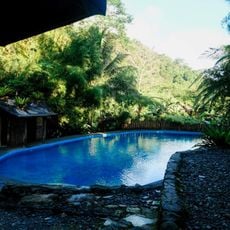
Bamboo Garden Resort
84.3 km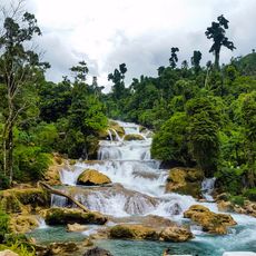
Aliwagwag Falls
69.9 km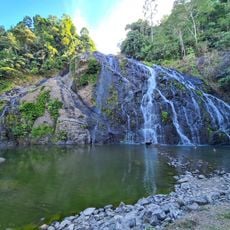
Awao Falls 2 and 3
30.6 km
Tagum Historical & Cultural Center
82.3 km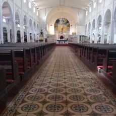
Tandag Cathedral
106.4 km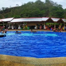
MGG Resort
118.5 kmReviews
Visited this place? Tap the stars to rate it and share your experience / photos with the community! Try now! You can cancel it anytime.
Discover hidden gems everywhere you go!
From secret cafés to breathtaking viewpoints, skip the crowded tourist spots and find places that match your style. Our app makes it easy with voice search, smart filtering, route optimization, and insider tips from travelers worldwide. Download now for the complete mobile experience.

A unique approach to discovering new places❞
— Le Figaro
All the places worth exploring❞
— France Info
A tailor-made excursion in just a few clicks❞
— 20 Minutes