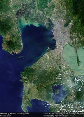
Manila Bay, Natural harbor at South China Sea, Philippines.
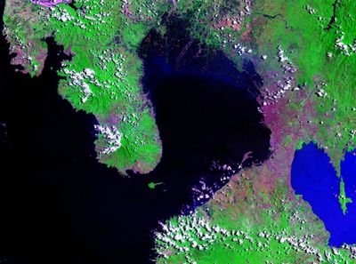
Manila Bay is a large inlet on the southwestern coast of Luzon island that covers roughly 770 square miles and ranges from 30 to 120 feet in depth. The water connects to the South China Sea through two passages divided by Corregidor island.
The bay was the site of a naval battle in 1898 when American ships under Commodore George Dewey defeated the Spanish fleet near Cavite. This event ended Spanish presence in the region and changed the political situation in the Philippines fundamentally.
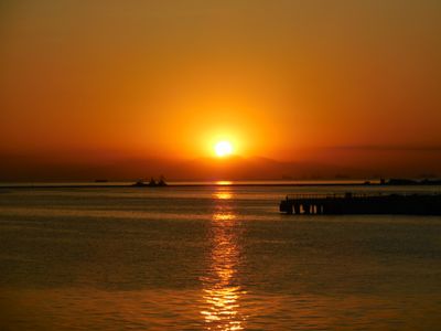
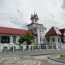
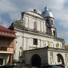
The official name comes from the city of Manila, which sits on the eastern shore and grew around the waterfront districts. Today visitors watch fishermen head out in small boats and see large cargo ships entering the terminals that handle much of the country's trade.
The northern passage near Corregidor island is used by most large ships because it is wider and deeper than the southern channel. Visitors who want to view the bay from the shore can find many vantage points along the eastern coast and in the harbor districts of Manila.
Along the northern and northeastern shores lie extensive fish ponds that were built in the Pampanga River delta. These facilities supply the region with fish and seafood and shape the coastal view with their rectangular basins.
The community of curious travelers
AroundUs brings together thousands of curated places, local tips, and hidden gems, enriched daily by 60,000 contributors worldwide.