
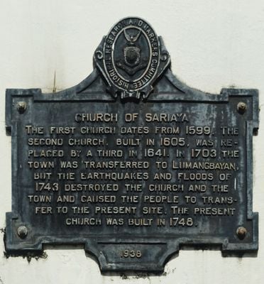
Church of Sariaya historical marker
Church of Sariaya historical marker, HRMC historical marker for Sariaya Church
Location: Sariaya
Inception: 1938
Creator: National Historical Commission of the Philippines
Made from material: cast iron
Address: General Luna Street
GPS coordinates: 13.96347,121.52397
Latest update: March 21, 2025 18:29
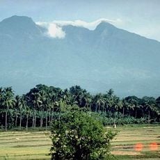
Mount Banahaw
12.1 km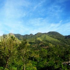
San Cristobal
15.4 km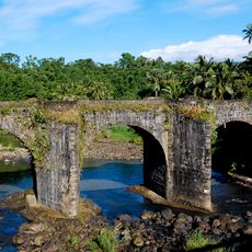
Malagonlong Bridge
11.4 km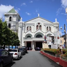
Lucena Cathedral
10 km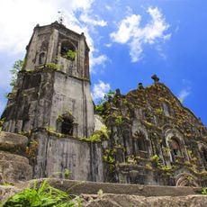
Lucban Church
17.2 km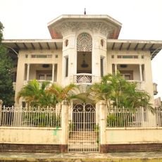
Gala–Rodriguez House
194 m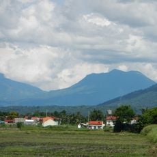
Mounts Banahaw–San Cristobal Protected Landscape
10.8 km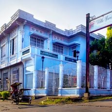
Don Catalino Rodriguez Ancestral House
142 m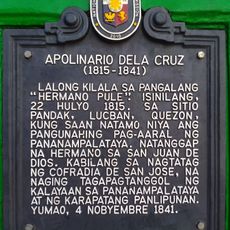
Apolinario dela Cruz historical marker
4.5 km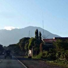
Parco nazionale di Mounts-Banahaw-San-Cristobal
12.3 km
Nawawalang Paraiso
10.7 km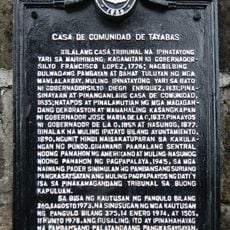
Casa de Comunidad de Tayabas historical marker
10.1 km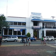
Lucban Municipal Hall
17.1 km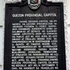
Quezon Provincial Capitol historical marker
10.4 km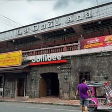
La Doña Ana
17.1 km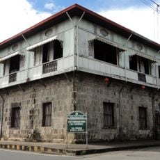
Casa Comunidad of Tayabas
10.1 km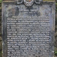
Macario Sakay historical marker
12.7 km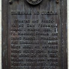
Church of Lucena historical marker
10.1 km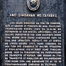
The Church of Tayabas historical marker
10 km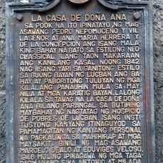
La Casa de Doña Ana historical marker
17.1 km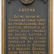
Lucena historical marker
10.1 km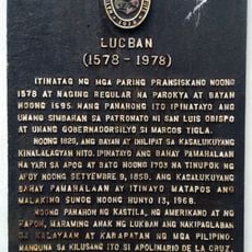
Lucban historical marker
17.1 km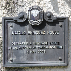
Natalio Enriquez House historical marker
63 m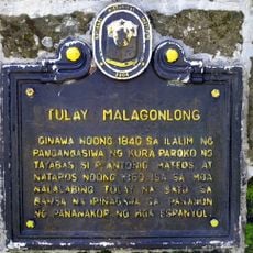
Malagonlong Bridge historical marker
11.5 km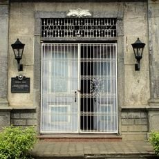
Rodriguez House historical marker
137 m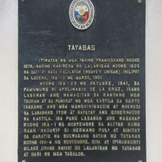
Tayabas historical marker
10.1 km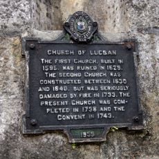
Church of Lucban historical marker
17.2 km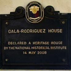
Gala-Rodriguez House historical marker
203 mReviews
Visited this place? Tap the stars to rate it and share your experience / photos with the community! Try now! You can cancel it anytime.
Discover hidden gems everywhere you go!
From secret cafés to breathtaking viewpoints, skip the crowded tourist spots and find places that match your style. Our app makes it easy with voice search, smart filtering, route optimization, and insider tips from travelers worldwide. Download now for the complete mobile experience.

A unique approach to discovering new places❞
— Le Figaro
All the places worth exploring❞
— France Info
A tailor-made excursion in just a few clicks❞
— 20 Minutes