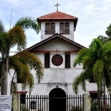
Mainit Hot Springs Protected Landscape, Protected thermal area in Nabunturan, Philippines
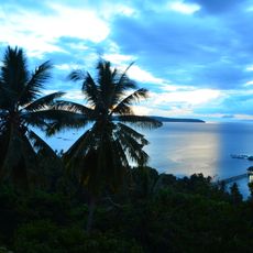
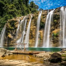
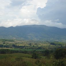
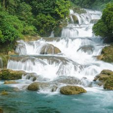
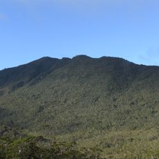
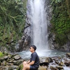
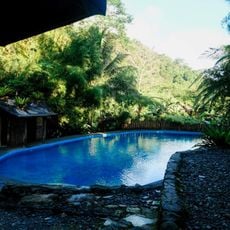
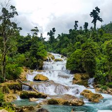
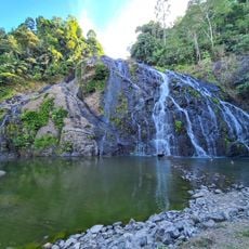
The Mainit Hot Springs Protected Landscape is a mountainous region in Nabunturan covering over 1,300 hectares with multiple natural thermal pools and waterways. The terrain includes dense forest at various growth stages and numerous rock formations throughout the property.
The area was established as a national park in 1957 under President Carlos P. Garcia protecting approximately 1,380 hectares. Its designation changed in 2000 when it was reclassified as a protected landscape.
The Mansaka people have long used these thermal waters as a center for healing traditions that remain part of their daily practices. The springs hold deep meaning in their relationship with the land and its resources.
The springs are accessible via the Pan-Philippine Highway and the Nabunturan-Mainit Park Road, where cottages and developed bathing pools are available for visitors. The mountainous terrain requires sturdy footwear and appropriate clothing when exploring the area.
The property contains over thirty caves that, along with the thermal pools, create hidden passages through the mountainous landscape. These caverns form part of an intricate underground system throughout the protected area.
The community of curious travelers
AroundUs brings together thousands of curated places, local tips, and hidden gems, enriched daily by 60,000 contributors worldwide.