
Mandi Bahauddin Tehsil, tehsil in Punjab, Pakistan
Location: Mandi Bahauddin District
Capital city: Mandi Bahauddin
GPS coordinates: 32.56944,73.49667
Latest update: April 2, 2025 11:47
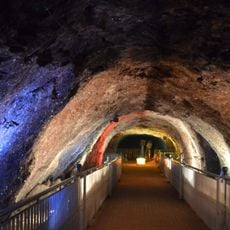
Khewra Salt Mine
46.6 km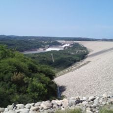
Mangla Dam
65.2 km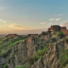
Rohtas Fort
44.7 km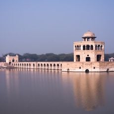
Hiran Minar
101.6 km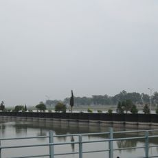
Marala Headworks
91.4 km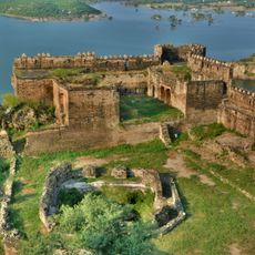
Ramkot Fort
74.1 km
Kharian Cantonment
45.6 km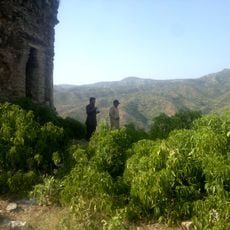
Nandana Fort
30.5 km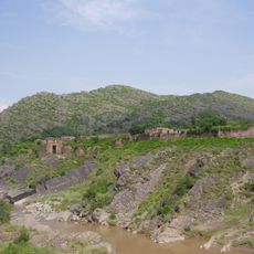
Pharwala
94.1 km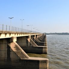
Rasul Barrage
12.5 km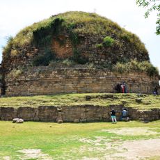
Mankiala Stupa
100.6 km
F-8, Islamabad
98.5 km
Iqbal Manzil
98 km
Sialkot Fort
98.4 km
Gurdwara Chowa Sahib
45.3 km
Jhelum Cantonment
43.9 km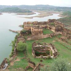
Throchi Fort
102 km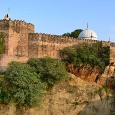
Sangni Fort
89.4 km
Gurdwara Beri Sahib
99.2 km
Sargodha Cantonment
61.1 km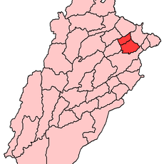
Bhiri Shah Rahman
59.5 km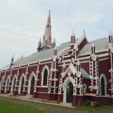
Sialkot Cathedral
100.3 km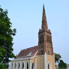
St. John's Church
44.5 km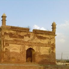
Dak Chowki
59.4 km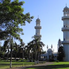
CMH Masjid Jhelum
42.9 km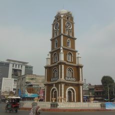
Clock Tower Sialkot
99.6 km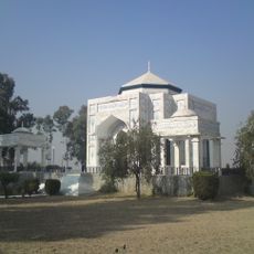
Tomb of Muhammad of Ghor
69.6 km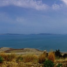
Mangla Reservoir
68.4 kmReviews
Visited this place? Tap the stars to rate it and share your experience / photos with the community! Try now! You can cancel it anytime.
Discover hidden gems everywhere you go!
From secret cafés to breathtaking viewpoints, skip the crowded tourist spots and find places that match your style. Our app makes it easy with voice search, smart filtering, route optimization, and insider tips from travelers worldwide. Download now for the complete mobile experience.

A unique approach to discovering new places❞
— Le Figaro
All the places worth exploring❞
— France Info
A tailor-made excursion in just a few clicks❞
— 20 Minutes