
Gohinkiān Darang, summit in Pakistan
Location: Balochistan
Elevation above the sea: 718 m
GPS coordinates: 26.54113,62.46008
Latest update: June 3, 2025 09:08
Hingol National Park
337.3 km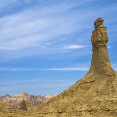
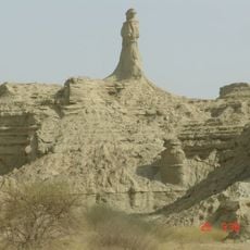
Princess of Hope
312.5 km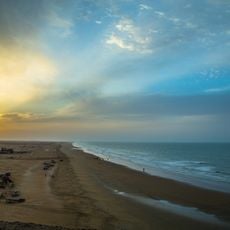
Kund Malir Beach
327.2 km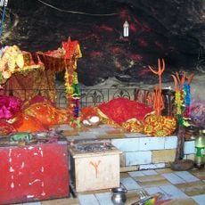
Hinglaj Mata
326.3 km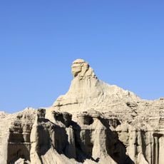
Balochistan Sphinx
310.1 km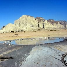
Hingol mud volcano
361.9 km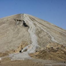
Chandragup
361.9 km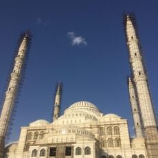
Jameh Mosque of Makki
364.1 km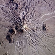
Kūh-e Zendeh
296.4 km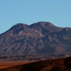
Mount Taftan
264 km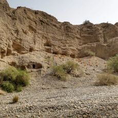
Gondrani
374.3 km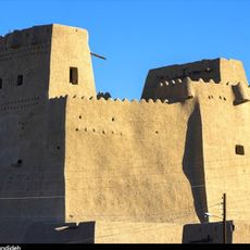
Sib and Suran Castle
86.5 km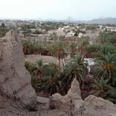
Nik Shahr Castle
236.7 km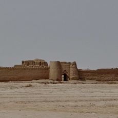
Rostam Castle
462.5 km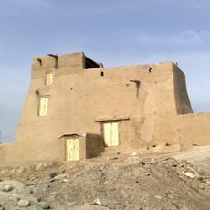
Chanef Castle
215.8 km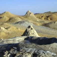
Pirgel Mud Volcano
253.4 km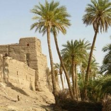
Espakeh Castle
234.9 km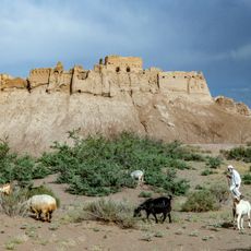
Bampur Castle
212.9 km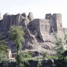
Irandegan Castle
183 km
Heriduk Castle
236.3 km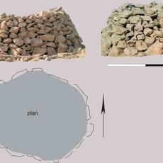
Al-Khawdh
440.9 km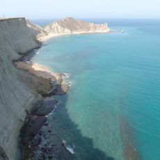
Astola Island Lighthouse
209.7 km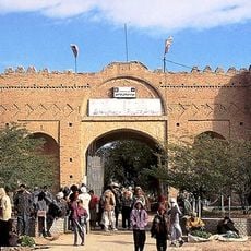
Naseri Castle (Iranshahr)
191.1 km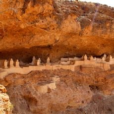
Haftad Molla Cemetery
273.4 km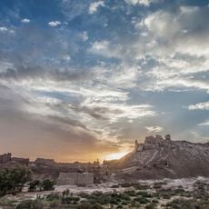
Tepe Bampur
213 km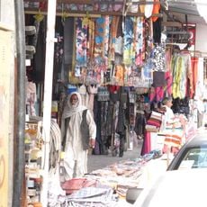
Zahedan Roofed Bazaar
364.4 km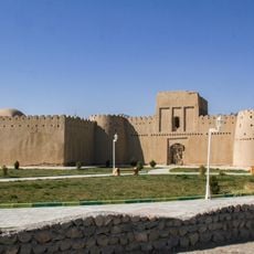
Heydarabad Castle
223 km
Kishti
382.7 kmReviews
Visited this place? Tap the stars to rate it and share your experience / photos with the community! Try now! You can cancel it anytime.
Discover hidden gems everywhere you go!
From secret cafés to breathtaking viewpoints, skip the crowded tourist spots and find places that match your style. Our app makes it easy with voice search, smart filtering, route optimization, and insider tips from travelers worldwide. Download now for the complete mobile experience.

A unique approach to discovering new places❞
— Le Figaro
All the places worth exploring❞
— France Info
A tailor-made excursion in just a few clicks❞
— 20 Minutes