
Sawāri Dher, summit in Pakistan
Location: Khyber Pakhtunkhwa
Elevation above the sea: 3,055 m
GPS coordinates: 34.70639,73.44972
Latest update: March 19, 2025 05:57
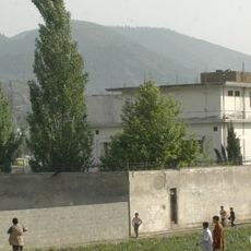
Osama bin Laden's compound in Abbottabad
62.7 km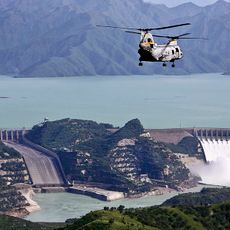
Tarbela Dam
97.3 km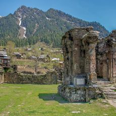
Sharada Peeth
68.4 km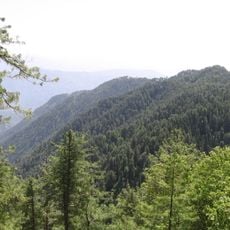
Ayubia National Park
71.7 km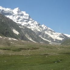
Malika Parbat
28.3 km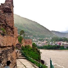
Muzaffarabad Fort
36.1 km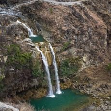
Sajikot Waterfall
80.1 km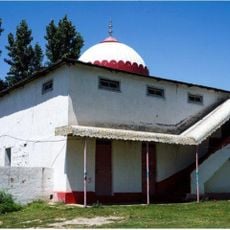
Mansehra Shiva Temple
40.4 km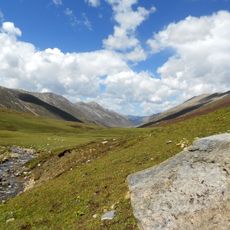
Lulusar-Dudipatsar National Park
60.9 km
Makra Peak
15.3 km
Saiful Muluk National Park
27.8 km
Mansehra Rock Edicts
49 km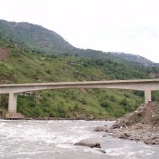
Kohala Bridge
68.1 km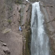
Dhani Waterfall
38.4 km
Dudipatsar Trail
58.8 km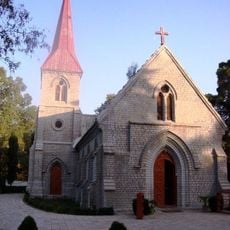
St. Luke's Church
65.6 km
Dhodial Pheasantry
36.5 km
Earthquake Memorial Bridge
39.9 km
Youyi Bridge
48.2 km
Murree Wildlife Park
90.6 km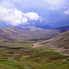
Gittidas
68.4 km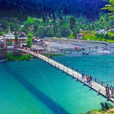
Sharda Bridge
68.2 km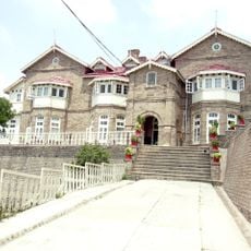
Convent of Jesus and Mary, Murree
90.9 km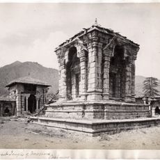
Vishnu temple, Buniyar
92.3 km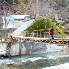
Kundal Shahi Jagran Bridge
38.9 km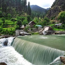
Kutton Waterfall
39 km
Ilyasi Mosque
62.1 km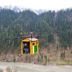
Kel-Arang Kel cable car
83.4 kmReviews
Visited this place? Tap the stars to rate it and share your experience / photos with the community! Try now! You can cancel it anytime.
Discover hidden gems everywhere you go!
From secret cafés to breathtaking viewpoints, skip the crowded tourist spots and find places that match your style. Our app makes it easy with voice search, smart filtering, route optimization, and insider tips from travelers worldwide. Download now for the complete mobile experience.

A unique approach to discovering new places❞
— Le Figaro
All the places worth exploring❞
— France Info
A tailor-made excursion in just a few clicks❞
— 20 Minutes