Abramowice, Residential district in Lublin, Poland
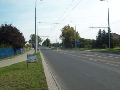
Abramowice is a residential district in the southern part of Lublin that stretches from Osmolicka Street toward the Czerniejowka River. The area blends urban streets with spaces that once served as farmland before the neighborhood developed.
The area shows evidence of human settlement going back to prehistoric times. In the 15th century it received formal legal status as an organized settlement, which shaped its growth and structure.
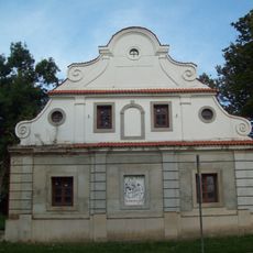
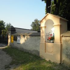
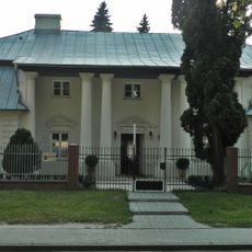
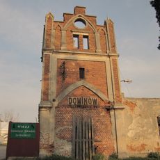
The early 20th-century chapel serves as a spiritual focal point for residents and reflects the religious life of the neighborhood. People gather there for celebrations and community moments that mark the passing of seasons and life milestones.
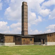
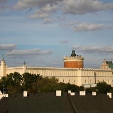
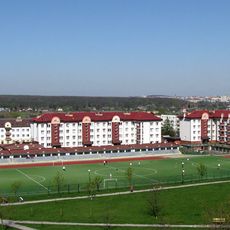
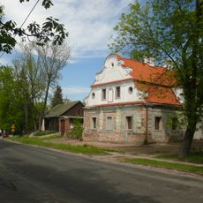
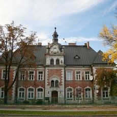
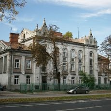
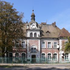
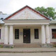
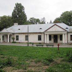
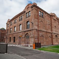
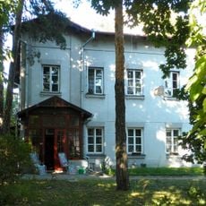
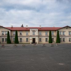
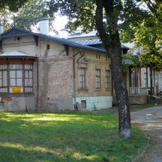
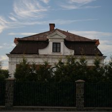
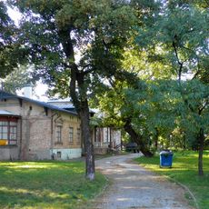
The district is easy to navigate on foot and has good street layout for walking around. A psychiatric hospital occupies a significant site with notable buildings set on the grounds of a former country house.
The name Abramowice comes from the Hebrew name Abram, revealing ancient Jewish roots in the area. Medieval records document it as Abrahamowice, showing how the name has been tied to this place for centuries.
Location: Lublin
Shares border with: Zemborzyce, Wrotków, Dziesiąta, Głusk
Website: http://lublin.eu/rady-dzielnic/dzielnice/abramowice
GPS coordinates: 51.19450,22.56850
Latest update: December 12, 2025 12:07
Lublin-Majdanek concentration camp
3.8 km
Lublin Castle
708 m
Zemborzyce Lake
3 km
Wrotków
2.1 km
Głusk
2.4 km
Kośminek
3.8 km
Za Cukrownią
3.7 km
Saint James church in Lublin
1.9 km
Głusk Inn
2 km
Fragment dawnego rynku m. Głuska (dec. otoczenie ratusza), k. XVII
2 km
Majdanek Mausoleum
3.1 km
Lublin - Południe deanery
2.1 km
Cmentarz parafialny w Lubliniu
2.1 km
9 Krochmalna Street in Lublin
4 km
7 Krochmalna Street in Lublin
4 km
Former sugar refinery in Lublin
3.8 km
Plebania przy kościele św. Jakuba, Głuska 145A w Lublinie
1.9 km
Dwór, k. XVIII
1.9 km
Zespół dworski, Abramowicka 2 w Lublinie
1.9 km
Niemiecki obóz koncentracyjny w Lublinie, tzw. Majdanek, ob. muzeum
3.7 km
Schron I (z czasu II wojny światowej)
3.8 km
Rafineria
3.8 km
Budynek mieszkalny pracowników
3.8 km
Budynek zarządu cukrowni
3.8 km
Pałacyk dyrektora, Krochmalna 13c w Lublinie
3.8 km
Pawilon sklepowy Stowarzyszenia Zgoda
3.8 km
Park przy pałacyku dyrektora
3.8 km
Brama wjazdowa na folwark
3 kmVisited this place? Tap the stars to rate it and share your experience / photos with the community! Try now! You can cancel it anytime.
Discover hidden gems everywhere you go!
From secret cafés to breathtaking viewpoints, skip the crowded tourist spots and find places that match your style. Our app makes it easy with voice search, smart filtering, route optimization, and insider tips from travelers worldwide. Download now for the complete mobile experience.
A unique approach to discovering new places❞
— Le Figaro
All the places worth exploring❞
— France Info
A tailor-made excursion in just a few clicks❞
— 20 Minutes