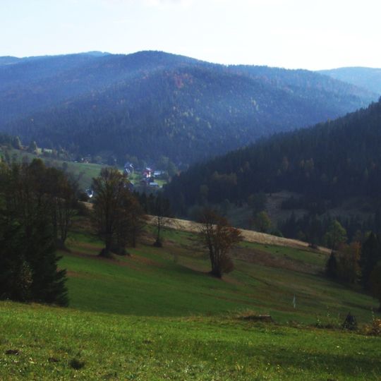
Średni Wierch, Mountain summit in Obidowa, Lesser Poland Voivodeship, Poland
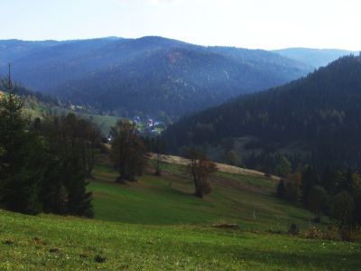
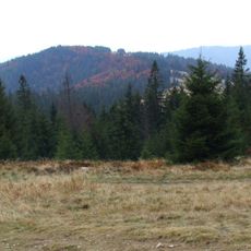
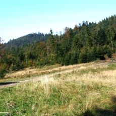
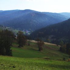
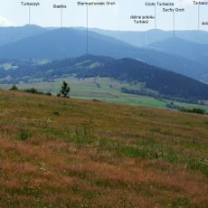
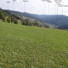
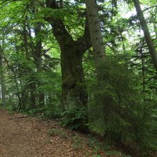
Sredni Wierch is a summit in the Gorce Mountains rising to 1122 meters and covered in dense forest. The terrain extends westward toward Solnisko Mountain and connects through mountain paths to neighboring peaks.
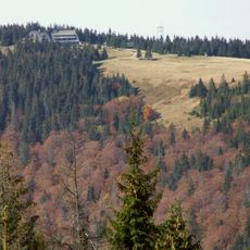
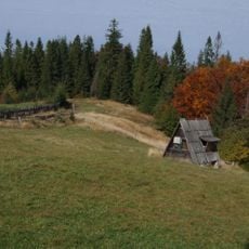
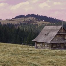
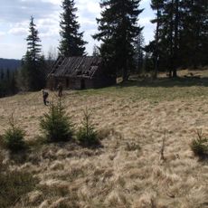
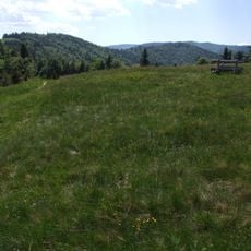
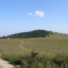
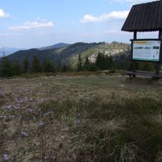
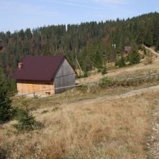
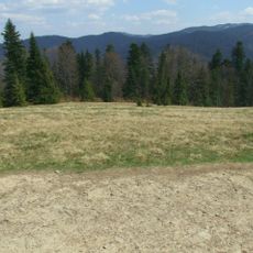
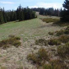
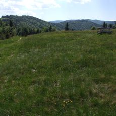
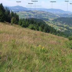
Herding and mowing shaped the ridge and slopes of Średni Wierch for generations, creating clearings such as Polanka, Stosy, Polana Skodowa, Mała Nowa, Tynowo, Nad Papiernią, Nalewajki, Spalone, Gorzec, Polana Mokra, Zakrzesy, Solisko and Grześ. Some clearings were mown and the hay carried down. When grazing on these high, hard-to-reach pastures became unprofitable, the clearings were left to themselves and are gradually being overgrown by forest.
The slopes once carried clearings such as Polanka, Stosy, Polana Skodowa and Nalewajki, where grazing and haymaking shaped the mountain's use. Hay was carried down from these high, hard-to-reach meadows. When herding became unprofitable, the meadows were abandoned and are now overgrown with forest, though their names remain on maps.
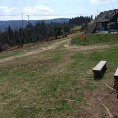
No marked hiking trail leads to the summit; the way up follows forest roads from the Lepietnica valley. A forest road runs along the ridge through Średni Wierch and Solnisko to Rozdziele, where it joins the road to Turbacz. Since 2015 a cross-country ski route, Śladami olimpijczyków, runs from Obidowa to Turbacz through these slopes.
The ridge and slopes once held many grazed or mown clearings, among them Polanka, Stosy, Polana Skodowa, Mała Nowa, Tynowo, Nad Papiernią, Nalewajki, Spalone, Gorzec, Polana Mokra, Zakrzesy, Solisko and Grześ. Hay was carried down by hand; when grazing on these high, hard-to-reach plots stopped paying, the clearings were left and are now being overgrown by forest.
The community of curious travelers
AroundUs brings together thousands of curated places, local tips, and hidden gems, enriched daily by 93,109 contributors worldwide.