Enable Location

We need your location to show you interesting places around you

Discover nearby places

Find interesting locations and hidden gems around you

Precise directions

Get accurate directions and distances to places

Your location is never shared with other users. It's only used when you tap the location button.

Montijo

Log in to your account

Start exploring — it's free

Trusted by 62,038 travelers worldwide

Continue with Google
Continue with Apple
or

We will send you a code to connect

By continuing, you accept our Terms and Conditions and our Privacy Policy

Check your inbox

We've sent a pincode in your inbox. Please enter the code below.

Montijo, Municipality in Setúbal District, Portugal

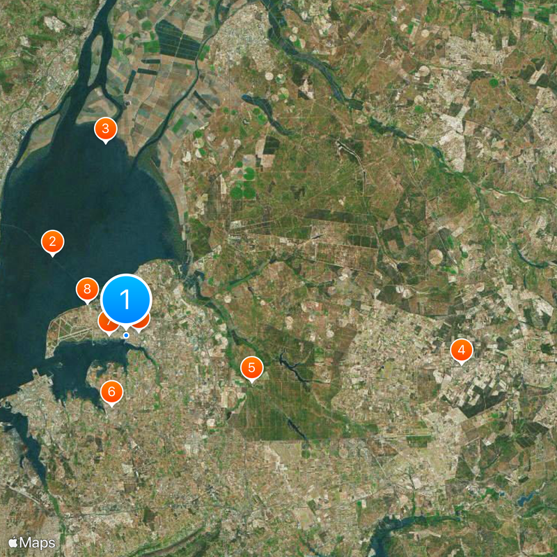
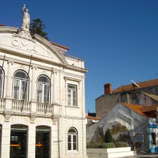
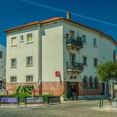
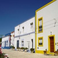
Montijo is a municipality south of the Tagus River within the Lisbon metropolitan area, spreading across roughly 348 square kilometers. The town combines urban centers with rural zones and sits strategically across the estuary from the capital.

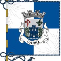
The settlement received official municipal status from King Manuel I in 1514 under its original name of Aldeia Galega. A major administrative change occurred in 1930 when the municipality adopted its current name.

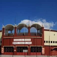
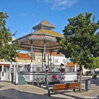
Local festivals featuring bull releases remain central to community life and reflect the area's historical connection to livestock farming. Residents gather for these events as expressions of regional tradition and local pride.

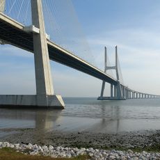
The Vasco da Gama Bridge provides direct road access to Lisbon, while regular bus lines serve the area for local travel. River transport options also connect the municipality to the wider region and capital.

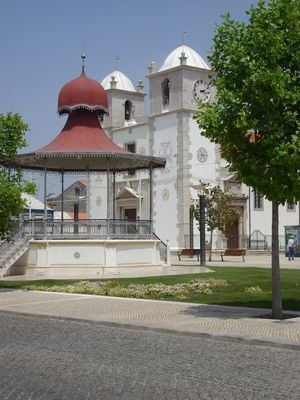
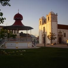
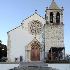
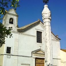
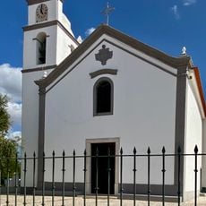
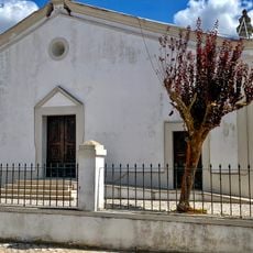
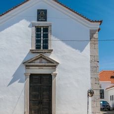
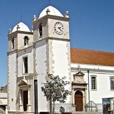
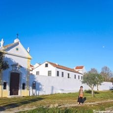
The Igreja do Espírito Santo contains 15th-century structural elements alongside elaborate tile work from the 18th century. This church blends architectural styles from different periods in an interesting way that reflects the area's layered past.

The community of curious travelers

AroundUs brings together thousands of curated places, local tips, and hidden gems, enriched daily by 60,000 contributors worldwide.

Start exploring
Location
Inception
January 1, 1514
Shares border with
Barreiro, Moita, Palmela, Alcochete, Vendas Novas, Montemor-o-Novo, Coruche, Benavente
GPS coordinates
38.70489,-8.97567
Latest update
December 20, 2025 02:15
Around this place
Show the full map
« Montijo - Municipality in Setúbal District, Portugal » is provided by Around Us (aroundus.com). Images and texts are derived from Wikimedia project under a Creative Commons license. You are allowed to copy, distribute, and modify copies of this page, under the conditions set by the license, as long as this note is clearly visible.

Discover hidden gems everywhere you go!

From secret cafés to breathtaking viewpoints, skip the crowded tourist spots and find places that match your style. Our app makes it easy with voice search, smart filtering, route optimization, and insider tips from travelers worldwide. Download now for the complete mobile experience.

Around Us App Screenshot

A unique approach to discovering new places

Le Figaro

All the places worth exploring

France Info

A tailor-made excursion in just a few clicks

20 Minutes

Around Us
Travel Guide & Maps
Download

Send to your phone

QR Code
1

Open the camera app on your mobile.

2

Point at the QR code with your camera. A notification will appear.

3

Tap the notification to open the link.