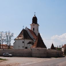
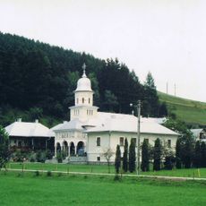
Gheorgheni, Municipal center in Harghita County, Romania
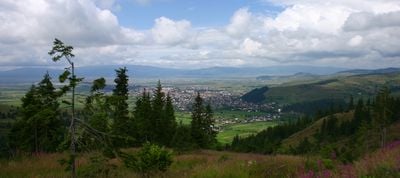
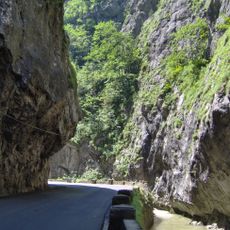
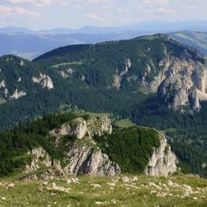
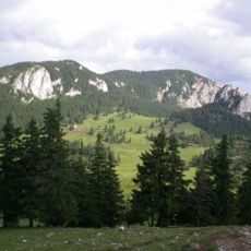
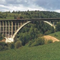
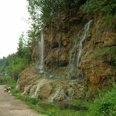
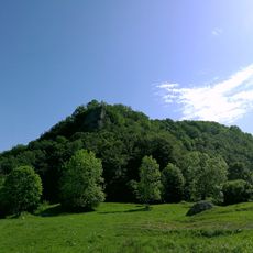
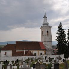
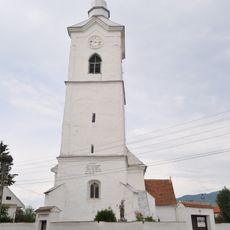
Gheorgheni is a municipal center in Harghita County situated at 816 meters elevation in the Eastern Carpathians. The town spreads along the Belcina River through mountainous terrain with dense forests and rugged geography.
The settlement was founded in 1332 and belonged to the Kingdom of Hungary until 1918, when Transylvania united with Romania following World War I. This transition marked a fundamental political shift for the region.
The town has a largely Hungarian-speaking population that shapes its character and daily life. Residents gather in public spaces and parks for community activities and socializing.
The town has an ice rink accommodating 3,000 spectators and a botanical garden spanning 13 hectares for public use. Visitors find different recreational options depending on the season.
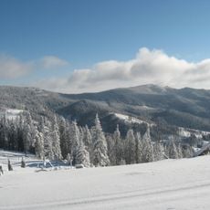
The region experiences roughly 160 days annually with temperatures below freezing, making it one of the coldest inhabited places in the area. The extreme winter conditions shape daily life and local infrastructure.
The community of curious travelers
AroundUs brings together thousands of curated places, local tips, and hidden gems, enriched daily by 60,000 contributors worldwide.