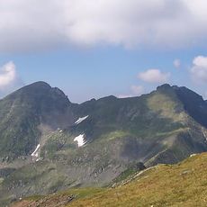
Făgăraș Mountains, Mountain range in central Romania.
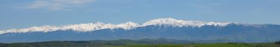
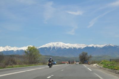
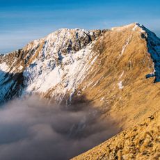
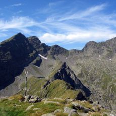
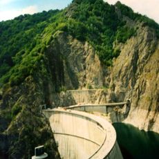
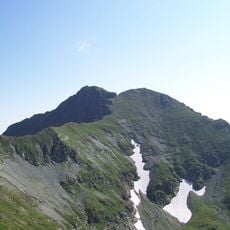
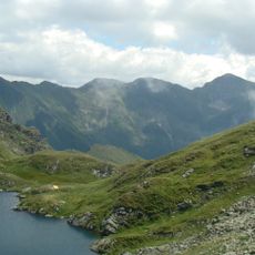
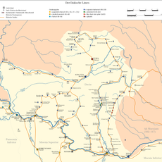
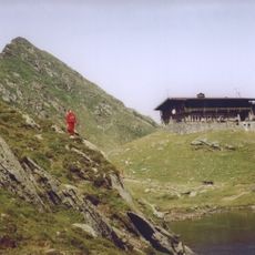
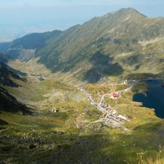
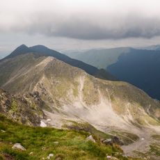
The Făgăraș Mountains form a roughly 70-kilometer-long range in Romania's Southern Carpathians, with Moldoveanu Peak reaching 2,544 meters as the highest point. Glacial lakes dot the high elevations, and a major road connects to Balea Lake while hiking trails link mountain huts across the terrain.
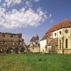
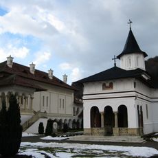
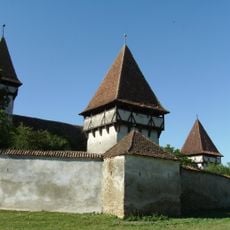
During medieval times, the range served as a natural barrier between regions, leading to the construction of fortifications and influencing military movements between Transylvania and Wallachia. This strategic role shaped territorial development for centuries afterward.
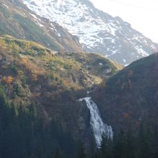
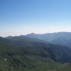
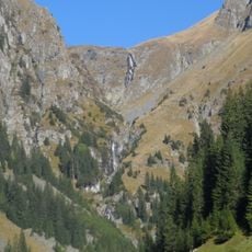
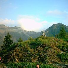
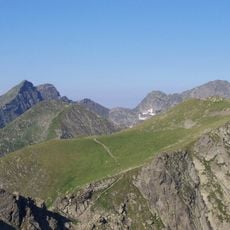
Shepherds have worked these mountain meadows for centuries, moving their herds between different elevations with the seasons in a practice deeply rooted in local tradition. You can still see evidence of this way of life in the pastoral landscape and in your encounters with local communities.
A major road allows vehicle access to Balea Lake, though it typically opens only from June through September due to snow. The hiking trail network and mountain huts are accessible throughout the year, but the warmer months offer the most comfortable conditions for outdoor activities.
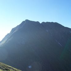
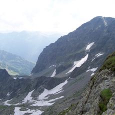
The northern face rises with an extreme steepness, creating an elevation difference of over 2,000 meters within a horizontal distance of just 4 kilometers. This dramatic slope makes the northern side a striking visual landmark visible from great distances away.
The community of curious travelers
AroundUs brings together thousands of curated places, local tips, and hidden gems, enriched daily by 60,000 contributors worldwide.