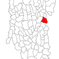
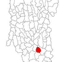
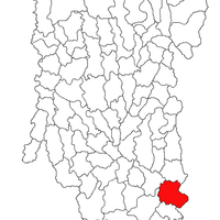
Argeș County, Administrative division in southern Romania
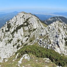
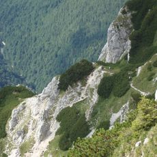
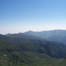
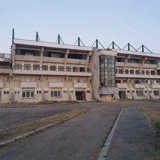
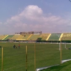
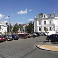
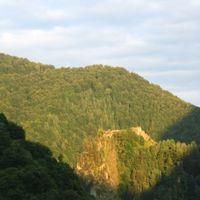
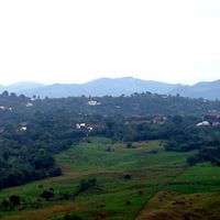
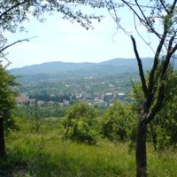
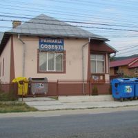
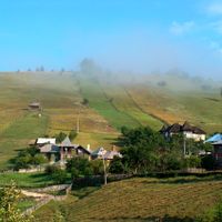
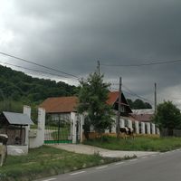
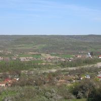
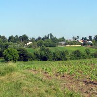
Argeș County is an administrative region in southeastern Romania that extends from the Carpathian Mountains in the north to flat plains in the south. It contains several urban centers and numerous rural settlements connected by rivers and road networks throughout its territory.
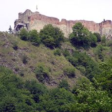
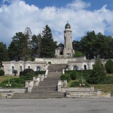
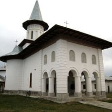
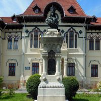
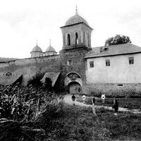
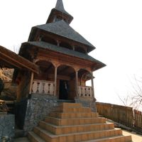
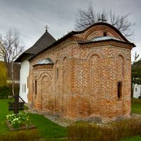
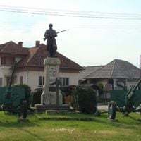
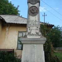
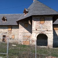
The area was inhabited since ancient times and later became an important trade region during the medieval period. Its current administrative structure was established in 1968 as part of a nationwide reorganization.
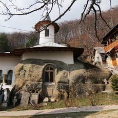
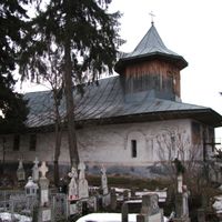
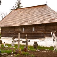
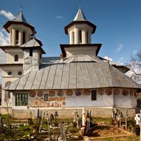
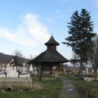
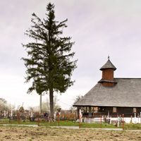
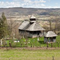
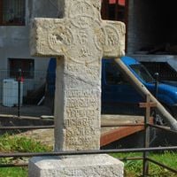
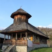
Rural villages in the region practice traditional crafts such as pottery and woodcarving that have been passed down through generations. These skills remain visible in local markets and homes, shaping daily life and local identity.
The region is connected by roads and rail lines to the capital Bucharest and other major cities. Visitors can navigate best with maps or digital tools, as public transportation between locations varies in availability and frequency.
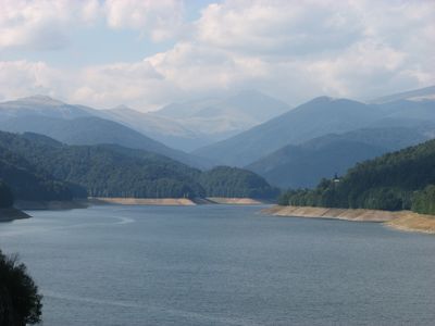
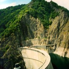
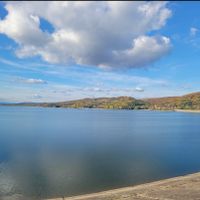
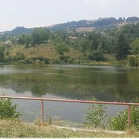
The Vidraru Dam was built during the 1960s within this territory and stands as one of Romania's most significant engineering projects. The resulting reservoir has become one of the country's largest artificial lakes and a popular recreation spot.
Location: Romania
Inception: February 16, 1968
Capital city: Pitești
Shares border with: Teleorman County, Olt County, Vâlcea County, Sibiu County, Brașov County, Dâmbovița County
Website: http://cjarges.ro
GPS coordinates: 45.00000,24.82000
Latest update: December 13, 2025 14:47
Poenari Castle
42 km
Curtea de Argeș Monastery
20.8 km
Lake Vidraru
45.1 km
Moldoveanu Peak
67.1 km
Piatra Craiului Mountains
67 km
Dâmbovicioara cave
58.7 km
Piatra Craiului National Park
66.2 km
Cave hermitage of the Apostles in Jgheaburi
32.2 km
Дъмбовичиоара ждрело
55.2 km
Mausoleum of Mateiaș
41.2 km
Negoiu Peak
68.3 km
Vidraru Dam
43.4 km
Nămăești Monastery
40.8 km
Princely Church Saint Nicholas Curtea de Argeș
19.5 km
Stadionul Nicolae Dobrin
17.5 km
Peștera Liliecilor (Rucăr-Bran)
67.4 km
Cotmeana Monastery
16.1 km
Negru Vodă monastery
34.1 km
Lespezi
67.2 km
La Om
66.1 km
Vânătoarea lui Buteanu
68.9 km
Vistea Mare
67.4 km
Glavacioc Monastery
68.3 km
Oratea Fortress
56.3 km
Cheile Zărneștilor
68.3 km
Dara
65.7 km
Stadionul Viitorul
50.1 km
Stadionul Dacia
10.5 kmVisited this place? Tap the stars to rate it and share your experience / photos with the community! Try now! You can cancel it anytime.
Pitești
Bascov
Bradu
Mioveni
Mărăcineni
Ștefănești
Câmpulung
Valea Mare Pravăț
Curtea de Argeș
Costești
Topoloveni
Albeștii de Argeș
Albeștii de Muscel
Albota
Aninoasa
Arefu
Băbana
Băiculești
Bălilești
Beleți-Negrești
Berevoești
Bârla
Bogați
Boteni
Boțești
Brăduleț
Stoenești
Budeasa
Bughea de Jos
Buzoești
Căldăraru
Călinești
Căteasca
Cepari
Cetățeni
Cicănești
Ciofrângeni
Ciomăgești
Cocu
Corbeni
Corbi
Coșești
Cotmeana
Cuca
Davidești
Dâmbovicioara
Dârmănești
Dobrești
Domnești
Dragoslavele
Drăganu
Godeni
Hârsești
Hârtiești
Izvoru
Leordeni
Lerești
Lunca Corbului
Mălureni
Merișani
Micești
Mihăești
Mioarele
Miroși
Morărești
Moșoaia
Mozăceni
Mușătești
Țițești
Negrași
Nucșoara
Oarja
Pietroșani
Poienarii de Argeș
Poienarii de Muscel
Poiana Lacului
Uda
Popești
Priboieni
Rătești
Recea
Rociu
Rucăr
Sălătrucu
Săpata
Schitu Golești
Slobozia
Stâlpeni
Stolnici
Suseni
Ștefan cel Mare
Șuici
Teiu
Tigveni
Ungheni
Valea Danului
Valea Iașului
Vedea
Vlădești
Râca
Vulturești
Bughea de Sus
Discover hidden gems everywhere you go!
From secret cafés to breathtaking viewpoints, skip the crowded tourist spots and find places that match your style. Our app makes it easy with voice search, smart filtering, route optimization, and insider tips from travelers worldwide. Download now for the complete mobile experience.
A unique approach to discovering new places❞
— Le Figaro
All the places worth exploring❞
— France Info
A tailor-made excursion in just a few clicks❞
— 20 Minutes