
Barabas, summit in Covasna, Romania
Location: Covasna County
Elevation above the sea: 569 m
GPS coordinates: 45.77042,25.69850
Latest update: April 8, 2025 19:55
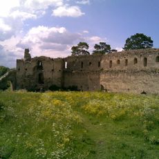
Feldioara Fortress
9.1 km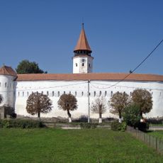
The Fortified Church of Prejmer
8 km
Evangelical Church, Hărman
6.2 km
Muzeul Național Secuiesc din Sfântu Gheorghe
12.2 km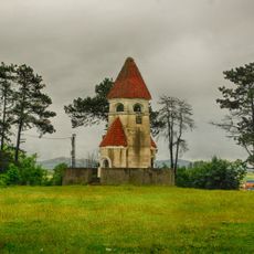
Saxon students' monument
9.8 km
Bod Transmitter
7.3 km
Pădurea și mlaștinile eutrofe de la Prejmer
2.5 km
Áron Tamási Theatre
12.7 km
Szászhermányi láp
6.4 km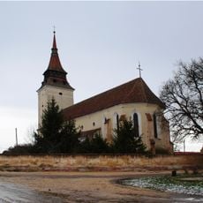
Lutheran church of Feldioara
9.4 km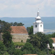
Fortified church in Sfântu Gheorghe
12.7 km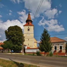
Fortified church in Bod, Brașov
4.4 km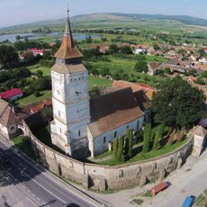
Fortified church in Rotbav
13.3 km
Hungarian cultural center in Sfântu Gheorghe
12.5 km
Lábasház
12.5 km
Szent Péter és Pál-fatemplom (Kökös)
7.5 km
Sfântu Gheorghe fortress
13.3 km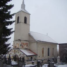
Saint George church in Sfântu Gheorghe
12.8 km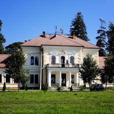
Castelul Beldy Pál din Budila
13.4 km
Reformed church in Ilieni, Covasna
6.3 km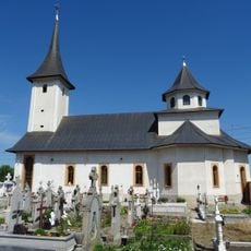
Stupini Orthodox church
13.6 km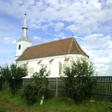
Unitarian church in Chilieni, Covasna
11 km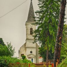
Reformed church in Araci, Covasna
5.5 km
Conacul Domokos din Araci
5.6 km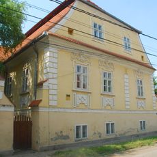
Conacul Séra din Ilieni
6.3 km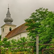
Biserica reformată din Hăghig
11 km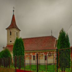
Saint Nicholas' church in Sânpetru, Brașov
8.2 km
National Szeklers Museum in Sfântu Gheorghe
12.2 kmReviews
Visited this place? Tap the stars to rate it and share your experience / photos with the community! Try now! You can cancel it anytime.
Discover hidden gems everywhere you go!
From secret cafés to breathtaking viewpoints, skip the crowded tourist spots and find places that match your style. Our app makes it easy with voice search, smart filtering, route optimization, and insider tips from travelers worldwide. Download now for the complete mobile experience.

A unique approach to discovering new places❞
— Le Figaro
All the places worth exploring❞
— France Info
A tailor-made excursion in just a few clicks❞
— 20 Minutes